Ch'alla Phujru
Ch'alla Phujru (Aymara ch'alla sand, phujru a hole or pit in the earth without water, not very deep,[2] "sand hole", also spelled Challa Phujru) is a 4,904-metre-high (16,089 ft) mountain in the Andes of Bolivia east of Poopó Lake. It is located in the Oruro Department, Sebastián Pagador Province, which is identical to the Santiago de Huari Municipality. Ch'alla Phujru lies south-west of the mountain Chullpiri, south of the Anta Qullu valley.[1][3]
| Ch'alla Phujru | |
|---|---|
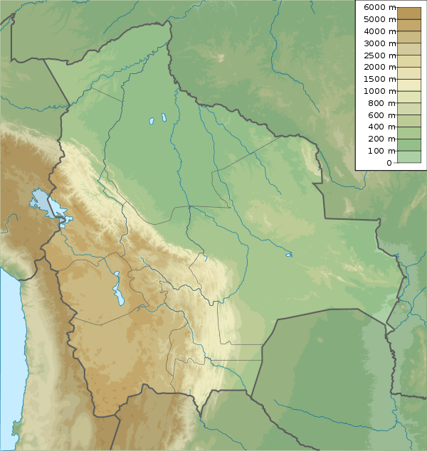
 Poopó Lake from above. Ch'alla Phujru lies in the roundish mountainous complex at its south-eastern end. | |
| Highest point | |
| Elevation | 4,904 m (16,089 ft) [1] |
| Coordinates | 18°59′47″S 66°38′36″W |
| Geography | |
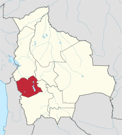
 Ch'alla Phujru Location in Bolivia | |
| Location | Bolivia, Oruro Department, Sebastián Pagador Province |
| Parent range | Andes |
References
- BIGM map 1:50,000 6237-II Cerro Azanaques
- Radio San Gabriel, "Instituto Radiofonico de Promoción Aymara" (IRPA) 1993, Republicado por Instituto de las Lenguas y Literaturas Andinas-Amazónicas (ILLLA-A) 2011, Transcripción del Vocabulario de la Lengua Aymara, P. Ludovico Bertonio 1612 (Spanish-Aymara-Aymara-Spanish dictionary)
- "Santiago de Huari". ine.gob.bo. Archived from the original on October 16, 2014. Retrieved October 14, 2014. (unnamed)
Capital: Oruro | ||
| Provinces |
|  |
| Municipalities (and seats) |
| |
This article is issued from Wikipedia. The text is licensed under Creative Commons - Attribution - Sharealike. Additional terms may apply for the media files.