Cenicientos
Cenicientos (Spanish pronunciation: [θeniˈθjentos]) is a municipality in the Community of Madrid, Spain. It is located in the southwesternmost end of the region. The municipality covers an area of 67.49 km2.[2] As of 2018, it has a population of 1,980. The urban settlement is located on the spurs of the Sistema Central, next to the Peña de Cenicientos (1,252 m), a small mountain range separated from the main range of the Sierra de Gredos and with continuity in the Sierra de San Vicente.[3]
Cenicientos | |
|---|---|
 | |
 Flag .svg.png) Coat of arms | |

| |
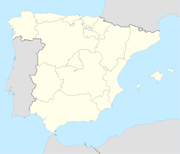 Cenicientos 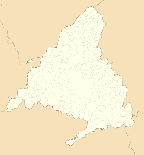 Cenicientos Cenicientos | |
| Coordinates: 40°15′50″N 4°28′00″W | |
| Country | Spain |
| Region | Community of Madrid |
| Area | |
| • Total | 67.49 km2 (26.06 sq mi) |
| Population (2018)[1] | |
| • Total | 1,980 |
| • Density | 29/km2 (76/sq mi) |
| Time zone | UTC+1 (CET) |
| • Summer (DST) | UTC+2 (CEST) |
References
- Municipal Register of Spain 2018. National Statistics Institute.
- "Municipios". Datos del Registro de Entidades Locales. Ministerio de Hacienda y Administraciones Públicas.
- "Peña de Cenicientos". IGN.
This article is issued from Wikipedia. The text is licensed under Creative Commons - Attribution - Sharealike. Additional terms may apply for the media files.