Cayo Gorda
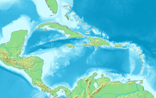
Cayo Gorda is a cay that is 66 nautical miles off the east coast of Honduras in the Caribbean Sea. It has an approximate area of 0.007 square kilometres and in 2005 was inhabited by 11 people.[1]
 Cayo Gorda | |
| Geography | |
|---|---|
| Location | Caribbean Sea |
| Coordinates | 15°51′N 82°24′W |
| Archipelago | Bay Islands |
| Area | 3.1 km2 (1.2 sq mi) |
| Administration | |
| Department | Bay Islands |
| Demographics | |
| Population | 11 (2005) |
In 2001 the island was used as a reference point in the treaty that set the maritime boundary between Honduras and the Cayman Islands.
References
- Charney, Jonathan I. et al. (1993). International Maritime Boundaries, Vol. 5, pp. 3564-3574.
- Charney, Jonathan I., David A. Colson, Robert W. Smith. (2005). International Maritime Boundaries, 5 vols. Hotei Publishing: Leiden. ISBN 9780792311874; ISBN 9789041119544; ISBN 9789041103451; ISBN 9789004144613; ISBN 9789004144798; OCLC 23254092
This article is issued from Wikipedia. The text is licensed under Creative Commons - Attribution - Sharealike. Additional terms may apply for the media files.