Campo de los Alisos National Park
The Campo de los Alisos National Park (Spanish: Parque Nacional Campo de los Alisos, literally "Field of Alders") is a federal protected area in Tucumán Province, Argentina. Established on 9 August 1995,[1] it houses a representative sample of the southern Yungas montane jungle biodiversity in good state of conservation.
| Campo de los Alisos National Park | |
|---|---|
| Parque Nacional Campo de los Alisos | |
IUCN category II (national park) | |
 Location within Argentina | |
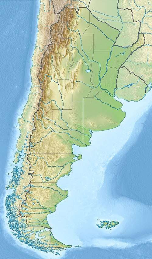
| Location | Tucumán Province, Argentina |
| Nearest city | Concepción |
| Coordinates | 27°13′S 65°58′W |
| Area | 17,000 ha (66 sq mi) |
| Established | August 9, 1995[1] |
Located in the Chicligasta Department on the eastern slope of the Nevados del Aconquija, the park has an area of 17,000 ha (170 km2; 66 sq mi). The Aconquija mountains are the southern extension of the Calchaquíes Valleys, the western first steps raising from the Gran Chaco plain into the Northwest region.
Biodiversity
Flora and fauna vary considerably with the different heights, from a jungle at lower levels to snow-covered mountainous terrain at 5,000 m (16,000 ft)
Climate
| Climate data for Potrero del Clavillo, Elevation: 1383 m (1993–2018) | |||||||||||||
|---|---|---|---|---|---|---|---|---|---|---|---|---|---|
| Month | Jan | Feb | Mar | Apr | May | Jun | Jul | Aug | Sep | Oct | Nov | Dec | Year |
| Record high °C (°F) | 32.0 (89.6) |
31.6 (88.9) |
31.0 (87.8) |
30.0 (86.0) |
31.2 (88.2) |
34.0 (93.2) |
33.0 (91.4) |
35.6 (96.1) |
35.0 (95.0) |
34.0 (93.2) |
35.0 (95.0) |
34.0 (93.2) |
35.6 (96.1) |
| Average high °C (°F) | 25.0 (77.0) |
23.9 (75.0) |
22.4 (72.3) |
19.8 (67.6) |
16.5 (61.7) |
15.5 (59.9) |
15.3 (59.5) |
17.5 (63.5) |
19.4 (66.9) |
21.8 (71.2) |
23.1 (73.6) |
24.7 (76.5) |
20.4 (68.7) |
| Daily mean °C (°F) | 19.1 (66.4) |
18.2 (64.8) |
16.8 (62.2) |
13.3 (55.9) |
9.4 (48.9) |
6.8 (44.2) |
5.8 (42.4) |
8.0 (46.4) |
10.9 (51.6) |
14.8 (58.6) |
17.0 (62.6) |
18.7 (65.7) |
13.2 (55.8) |
| Average low °C (°F) | 13.5 (56.3) |
12.9 (55.2) |
11.7 (53.1) |
7.6 (45.7) |
3.3 (37.9) |
−0.8 (30.6) |
−2.3 (27.9) |
−0.4 (31.3) |
3.0 (37.4) |
7.8 (46.0) |
10.3 (50.5) |
12.6 (54.7) |
6.6 (43.9) |
| Record low °C (°F) | 5.0 (41.0) |
1.0 (33.8) |
1.8 (35.2) |
−3.0 (26.6) |
−7.4 (18.7) |
−12.0 (10.4) |
−12.0 (10.4) |
−9.6 (14.7) |
−8.4 (16.9) |
−5.4 (22.3) |
−0.2 (31.6) |
2.0 (35.6) |
−12.0 (10.4) |
| Average precipitation mm (inches) | 223.7 (8.81) |
187.9 (7.40) |
189.0 (7.44) |
81.7 (3.22) |
41.3 (1.63) |
12.9 (0.51) |
8.5 (0.33) |
11.2 (0.44) |
19.8 (0.78) |
67.4 (2.65) |
89.8 (3.54) |
156.7 (6.17) |
1,089.9 (42.91) |
| Source: Red Hidrológica Nacional[2] | |||||||||||||
References
- Ley No. 24526, 1995-09-12, B.O., (28226), 1 (in Spanish); sanc.: 1995-08-09
- "Base de Datos Hidrológica Integrada" (in Spanish). Secretaría de Infraestructura y Política Hídrica. Retrieved March 13, 2018.
External links
- Administración de Parques Nacionales, Campo de los Alisos - National Parks Administration of Argentina (in Spanish)