Cairnlea, Victoria
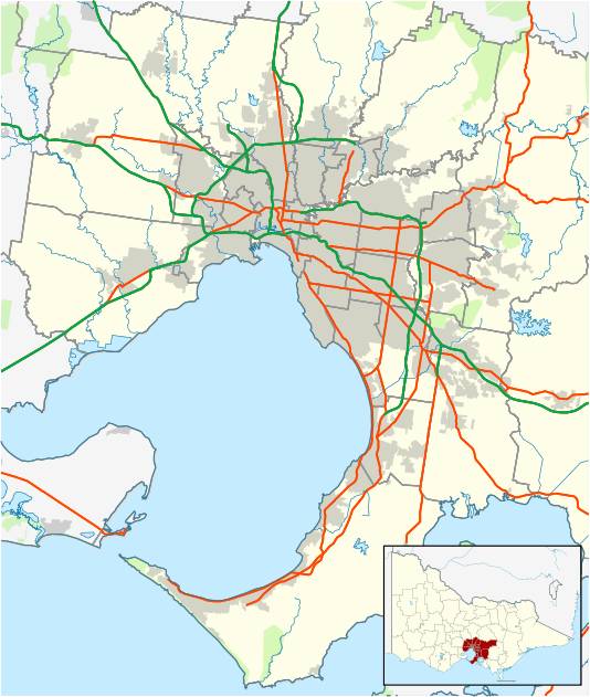
Cairnlea is a suburb of Melbourne, Victoria, Australia, 17 km north-west of Melbourne's Central Business District, located within the City of Brimbank local government area. Cairnlea recorded a population of 9,657 at the 2016 Census.
| Cairnlea Melbourne, Victoria | |||||||||||||||
|---|---|---|---|---|---|---|---|---|---|---|---|---|---|---|---|
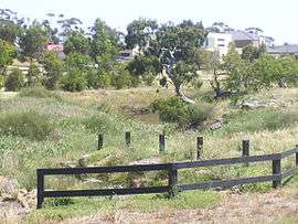 Kororoit Creek at Cairnlea | |||||||||||||||
 Cairnlea | |||||||||||||||
| Coordinates | 37.757°S 144.784°E | ||||||||||||||
| Population | 9,657 (2016)[1] | ||||||||||||||
| Established | 1999 | ||||||||||||||
| Postcode(s) | 3023 | ||||||||||||||
| Location | 17 km (11 mi) from Melbourne | ||||||||||||||
| LGA(s) | City of Brimbank | ||||||||||||||
| State electorate(s) | Kororoit | ||||||||||||||
| Federal Division(s) | Fraser | ||||||||||||||
| |||||||||||||||
| |||||||||||||||
The former Albion site became open grassland after European settlement but later, from 1939, it was a government explosives manufacturing site. The site closed in the 1990s.[2]
The suburb is a new estate, and has only been developed since 1999, with development of the new suburb to finish in mid-2005. The suburb features several man-made lakes and has implemented a suburb-wide stormwater recycling system that feeds all the lakes.
By 2011 Cairnlea is projected to have 3,000 residential blocks and to have a population of more than 10,000. It covers 460 hectares (4.6 km2) bounded by Station Rd, the Western Highway and the Western Ring Road.
Some 130 hectares (320 acres) have been set aside for public open space. Part of that process has seen two endangered species (the Plains Rice-flower and the Striped Legless Lizard) having reserves and management plans set up for their preservation.
Facilities
Education
Economy
The Cairnlea Shopping Center provides a number of small shops, a super-clinic, a Coles supermarket (6 AM - 10 PM) and a number of food and dining outlets. It is located at the crossing of Cairnlea Drive and Furlong Road at the heart of the district.
Attractions
- The Black Powder Mill
- Cairnlea Community Hub
- Cairnlea Town Centre
- The Victorian Croquet Club
- Cairnlea FC
- Iramoo
Flora and fauna
Kororoit Creek is located on the southern border of the suburb and Jones Creek on the Northern Border. The creeks have been home to healthy populations of native reptiles for thousands of years, including Tiger snake, Eastern Blue-tongued Lizard and Eastern brown snake. Unfortunately, due to development over the past 20 years, these species are now rarely seen in the area.
Due to development of lakes and wetlands, species of frogs have reclaimed the area. The Eastern Banjo Frog, Common Eastern Froglet and even the now endangered Growling Grass Frog have been seen and heard in the new wetlands and in Kororoit Creek. Some species of birds are also returning to the creeks and lakes, such as pelicans and cormorants.
References
- Australian Bureau of Statistics (27 June 2017). "Cairnlea (State Suburb)". 2016 Census QuickStats. Retrieved 7 July 2017.

- Vines, G & Ward, A. Draft Albion Explosives Factory Heritage Study, Melbourne's Living Museum of the West, for the Ministry of Planning and Environment, 1988.