Butlerville, Indiana
Butlerville is an unincorporated community and census-designated place (CDP) in central Campbell Township, Jennings County, Indiana, United States. As of the 2010 census it had a population of 282.[2]
Butlerville, Indiana | |
|---|---|
 | |
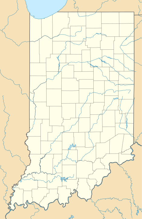
 Location of Butlerville in Jennings County, Indiana | |
 Butlerville Location of Butlerville in Jennings County, Indiana  Butlerville Butlerville (the United States) | |
| Coordinates: 39°2′4″N 85°30′46″W | |
| Country | United States |
| State | Indiana |
| County | Jennings |
| Township | Campbell |
| Area | |
| • Total | 0.38 sq mi (0.98 km2) |
| • Land | 0.38 sq mi (0.98 km2) |
| • Water | 0.0 sq mi (0.0 km2) |
| Elevation | 807 ft (246 m) |
| Population (2010) | |
| • Total | 282 |
| • Density | 745/sq mi (287.7/km2) |
| ZIP code | 47223 |
| GNIS feature ID | 431906[1] |
| FIPS code | 18-09622 |
History
The Butlerville post office was established in 1851.[3] An early settler being a former resident of Butlerville, Ohio, caused the name to be selected.[4] Butlerville was legally platted in 1853.[5]
Hannah Milhous Nixon, mother of President Richard Nixon, was born near Butlerville.
The community was home to Butlerville High School, home of the Bulldogs; which graduated classes from ~1910 thru 1950. Today, the community is serviced by Jennings County High School.
Geography
Butlerville lies along U.S. Route 50, 7 miles (11 km) east-northeast of the town of Vernon, the county seat of Jennings County.[6]
Its elevation is 807 feet (246 m), and it is located at 39°2′4″N 85°30′46″W (39.0344983, -85.5127432).[7] Although Butlerville is unincorporated, it has a post office, with the ZIP code of 47223.[8]
The community is bordered to the west by Southeast Purdue Agricultural Center.
References
- "Butlerville, Indiana". Geographic Names Information System. United States Geological Survey. Retrieved 2009-10-10.
- "Geographic Identifiers: 2010 Census Summary File 1 (G001): Butlerville CDP, Indiana". American Factfinder. U.S. Census Bureau. Archived from the original on February 13, 2020. Retrieved May 18, 2018.
- "Jennings County". Jim Forte Postal History. Retrieved 9 November 2014.
- Jennings Co. Historical Society (1999). Jennings Co., Indiana - Pictorial. Turner Publishing Company. p. 37.
- Baker, Ronald L. (October 1995). From Needmore to Prosperity: Hoosier Place Names in Folklore and History. Indiana University Press. p. 84. ISBN 978-0-253-32866-3.
...was platted on July 27, 1853.
- DeLorme. Indiana Atlas & Gazetteer. 3rd ed. Yarmouth: DeLorme, 2004, p. 52. ISBN 0-89933-319-2.
- Geographic Names Information System Feature Detail Report, Geographic Names Information System, 1979-02-14. Accessed 2008-06-01.
- Zip Code Lookup
- "Census of Population and Housing". Census.gov. Retrieved June 4, 2016.
External links
Municipalities and communities of Jennings County, Indiana, United States | ||
|---|---|---|
| City | Map of Indiana highlighting Jennings County | |
| Town | ||
| Townships | ||
| CDPs | ||
| Other unincorporated communities | ||
| Footnotes | ‡This populated place also has portions in an adjacent county or counties | |