Bull Mountain (Box Elder County, Utah)
Bull Mountain, an officially unnamed summit in northern Utah, United States, has an elevation of 9,938 feet (3,029 m). It is the highest point in the Raft River Mountains and Box Elder County.[1]
| Bull Mountain | |
|---|---|
 Bull Mountain and the Raft River Range | |
| Highest point | |
| Elevation | 9,938 ft (3,029 m) NAVD 88[1]{ |
| Prominence | 3,725 ft (1,135 m) [1] |
| Listing | Utah county high points #25[2] |
| Coordinates | 41°54′36″N 113°21′57″W [1] |
| Geography | |
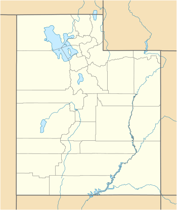 Bull Mountain Location in Utah | |
| Location | Box Elder County, Utah, U.S. |
| Parent range | Raft River Mountains |
| Topo map | USGS Standrod |
| Climbing | |
| Easiest route | 4-wheel drive road |
Description
The mountain is located southwest of Yost, west of Snowville and south of Malta, Idaho in the Raft River Division of the Minidoka Ranger District of Sawtooth National Forest.[3][4][5]
The northern slopes of Bull Mountain are drained by tributaries of the Raft River, a tributary of the Snake River, and the southern slopes drain into the Great Salt Lake. The peak can be reached via a long trail from the east or a 4-wheel drive road from the west.[6] The summit is very broad, but views from the mountain can encompass the Albion, Black Pine, and Wasatch mountains.
References
- "Bull Mountain, Utah". Peakbagger.com. Retrieved 2012-05-10.
- "Utah County High Points". Peakbagger.com. Retrieved 2016-04-24.
- "Raft River Mountains". Geographic Names Information System. United States Geological Survey.
- "Sawtooth National Forest". fs.usda.gov. United States Forest Service. Retrieved 2012-05-10.
- "Bull Mtn (UT)". SummitPost.org. Retrieved 2012-05-10.
- "Bull Mountain". surgent.net. Retrieved 2012-05-10.