Brown Wardle Hill
Brown Wardle is a hill between the village of Wardle, Greater Manchester and the town of Whitworth, Lancashire, England. The summit is on the border of Greater Manchester and Lancashire and stands 400 m (1,312 ft) above sea level, making it one of the highest points in Rochdale and Greater Manchester. It forms part of the South Pennines, lying within the historic county boundaries of Lancashire.
| Brown Wardle | |
|---|---|
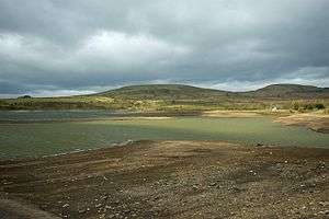 Brown Wardle from Watergrove Reservoir | |
| Highest point | |
| Elevation | c.400 metres (1,312 ft) |
| Coordinates | 53°39′52.85″N 2°9′15.59″W |
| Geography | |
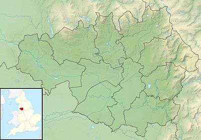 Brown Wardle Location in Greater Manchester 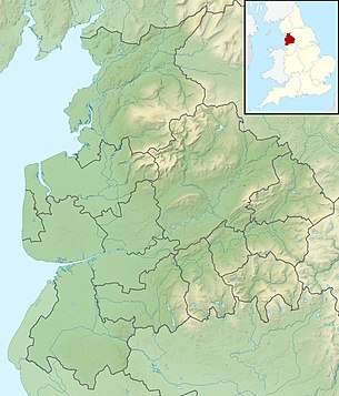 Brown Wardle Location in Lancashire 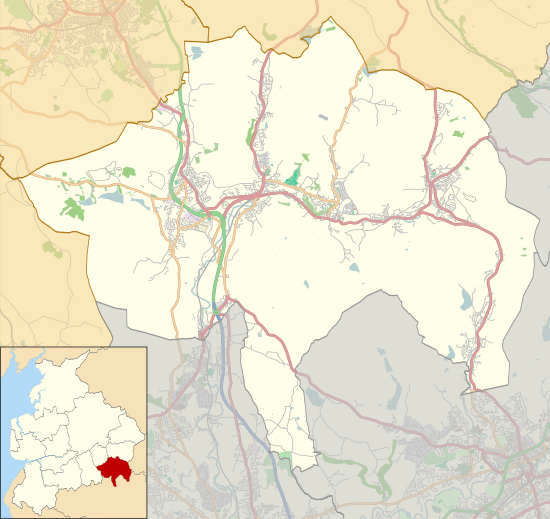 Brown Wardle Location in Rossendale | |
| Location | Wardle, Greater Manchester, England |
| OS grid | SD899187 |
This article is issued from Wikipedia. The text is licensed under Creative Commons - Attribution - Sharealike. Additional terms may apply for the media files.