Brennand Airport
Brennand Airport, (FAA LID: 79C) is a privately owned public use airport located 4 miles (6.4 km) southwest of the central business district of Neenah, a city in Winnebago County, Wisconsin, United States about halfway between Appleton and Oshkosh.[1] The airport is home to EAA Chapter 41.[3]
Brennand Airport | |||||||||||
|---|---|---|---|---|---|---|---|---|---|---|---|
| Summary | |||||||||||
| Airport type | Public | ||||||||||
| Serves | Neenah | ||||||||||
| Opened | 1967 | ||||||||||
| Elevation AMSL | 850 ft / 259 m | ||||||||||
| Coordinates | 44°09′33″N 088°33′42″W | ||||||||||
| Website | www | ||||||||||
| Map | |||||||||||
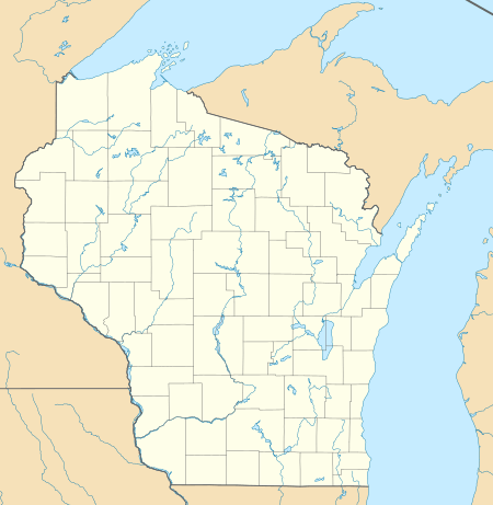 79C Location of airport in Wisconsin, United States  79C 79C (the United States) | |||||||||||
| Runways | |||||||||||
| |||||||||||
| Statistics | |||||||||||
| |||||||||||
Although most airports in the United States use the same three-letter location identifier for the FAA and International Air Transport Association (IATA), this airport is assigned 79C by the FAA but has no designation from the IATA.
Facilities and aircraft
Brennand Airport covers an area of 25 acres (10 ha) at an elevation of 850 feet (259 m) above mean sea level. It has one asphalt runway: 18/36 is 2,450 by 30 feet (747 x 6 m).[1]
For the 12-month period ending July 11, 2017, the airport had 14,550 aircraft operations, an average of 40 per day; greater than 99% general aviation and less than 1% air taxi. In February 2019, there were 59 aircraft based at this airport; 52 single-engine, 2 helicopter and 5 ultralight.[1]
See also
References
- FAA Airport Master Record for 79C (Form 5010 PDF). Federal Aviation Administration. effective February 28, 2019.
- "EAA Chapter 41 - Neenah, WI - Brennand Airport (79C)". EAA Chapter 41. Retrieved February 20, 2018.
External links
- Resources for this airport:
- FAA airport information for 79C
- AirNav airport information for 79C
- FlightAware airport information and live flight tracker
- SkyVector aeronautical chart for 79C
Civil aviation in Wisconsin | ||
|---|---|---|
| Primary airports | ||
| Airlines | ||
| Museums | ||
| Aviation related | ||
| People |
| |