Bootsville, Alabama
Bootsville is a ghost town in the Sand Valley area of central DeKalb County, Alabama, United States. It was located roughly five miles west-southwest of Fort Payne. This would place it near the present-day intersection of County Road 458 and County Road 461.
Bootsville, Alabama | |
|---|---|
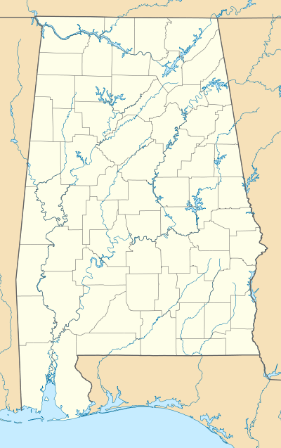 Bootsville Location within Alabama | |
| Coordinates: 34°25′45″N 85°48′40″W | |
| Country | United States |
| State | Alabama |
| County | DeKalb |
| Elevation | 869 ft (265 m) |
| Time zone | UTC-6 (Central (CST)) |
| • Summer (DST) | UTC-5 (CDT) |
| Area code(s) | 256 |
| GNIS feature ID | 150654[1] |
History
Though it once held the distinction of being the county seat of DeKalb County, very little is known about Bootsville. In 1837, the county seat moved to the town from Rawlingsville, making it the county's second seat of justice. However, Bootsville was only the county seat for a matter of months before the town of Camden assumed this role in 1838. This was around the time the county was still being organized. Bootsville was named for an Indian chief named Boots, who lived in the vicinity.[2]
References
- "Bootsville". Geographic Names Information System. United States Geological Survey.
- Foscue, Virginia. Place Names in Alabama. University: U of Alabama Press, 1989.
Municipalities and communities of DeKalb County, Alabama, United States | ||
|---|---|---|
| Cities |  Map of Alabama highlighting DeKalb County | |
| Towns | ||
| Unincorporated communities | ||
| Ghost towns | ||
| Footnotes | ‡This populated place also has portions in an adjacent county or counties | |