Boling, Texas
Boling is a census-designated place (CDP) in Wharton County, Texas, United States. This was a new CDP formed from parts of the Boling-Iago CDP prior to the 2010 census with a population of 1122.[1]
Boling, Texas | |
|---|---|
| Coordinates: 29°15′30″N 95°56′37″W | |
| Country | United States |
| State | Texas |
| County | Wharton |
| Area | |
| • Total | 4.7 sq mi (12 km2) |
| • Land | 4.65 sq mi (12.0 km2) |
| • Water | 0.05 sq mi (0.1 km2) |
| Population (2010) | |
| • Total | 1,122 |
| • Density | 240/sq mi (92/km2) |
| Time zone | UTC-6 (Central (CST)) |
| • Summer (DST) | UTC-5 (CDT) |
| Zip Code | 77420 |
Geography
Boling is located at 29°15′30″N 95°56′37″W (29.258398, -95.943552). The CDP has a total area of 4.7 square miles (12 km2), of which, 4.65 square miles (12.0 km2) of it is land and 0.05 square miles (0.13 km2) is water.[2]
References
- "Population and Housing Unit Counts, 2010 Census of Population and Housing" (PDF). Texas: 2010. Retrieved 2017-01-05.
- "Boundary Map of Boling, Texas". MapTechnica. Archived from the original on 2017-01-06. Retrieved 2017-01-04.
Municipalities and communities of Wharton County, Texas, United States | ||
|---|---|---|
| Cities | 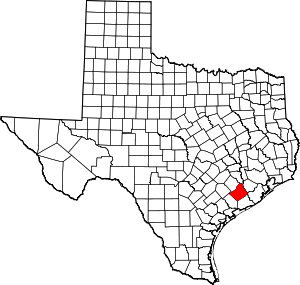 Wharton County map | |
| CDPs | ||
| Other unincorporated communities |
| |
| Ghost towns |
| |
This article is issued from Wikipedia. The text is licensed under Creative Commons - Attribution - Sharealike. Additional terms may apply for the media files.