Biharamulo
Biharamulo is a town in northwestern Tanzania. It is the district headquarter of Biharamulo District. Biharamulo used to be a German administrative center in colonial times. Biharamulo Game Reserve is located north of the town.[1]
Biharamulo | |
|---|---|
Town | |
.svg.png) Biharamulo Town Location of Biharamulo. 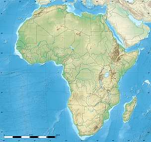 Biharamulo Town Biharamulo Town (Africa) 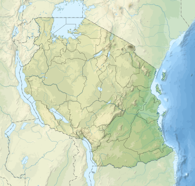 Biharamulo Town Biharamulo Town (Tanzania) | |
| Coordinates: 02°38′S 31°19′E | |
| Country | Tanzania |
| Region | Kagera Region |
| District | Biharamulo District |
| Population (2012) | |
| • Total | 24,573 |
| Time zone | GMT + 3 |
| Area code(s) | 028 |
| Climate | Aw |
| Website | www |
Transport
Trunk road T4 from Mwanza to Bukoba passes by the town and trunk road T9 to Kigoma Region start in Biharamulo.[2]
Population
According to the 2012 national census the population of Biharamulo town - 'Biharamulo Mjini' ward - is 24,573.[3]
Climate
| Climate data for Biharamulo | |||||||||||||
|---|---|---|---|---|---|---|---|---|---|---|---|---|---|
| Month | Jan | Feb | Mar | Apr | May | Jun | Jul | Aug | Sep | Oct | Nov | Dec | Year |
References
- Tanzania travel guide (6 ed.). Lonely Planet. June 2015. p. 232. ISBN 978-1742207797.
- "Trunk and Regional Roads in Tanzania". Tanroads. Archived from the original on 8 December 2015. Retrieved 1 December 2015.
- "Census 2012". National Bureau of Statistics. Archived from the original on March 5, 2016. Retrieved 14 February 2016.
This article is issued from Wikipedia. The text is licensed under Creative Commons - Attribution - Sharealike. Additional terms may apply for the media files.