Bevercotes
Bevercotes is a hamlet and civil parish in the Bassetlaw district of Nottinghamshire, England, about six miles south of East Retford and five miles north-east of Ollerton.[1][2] According to the 2001 census it had a population of 28. The population remained less than 100 at the 2011 Census and is included in the civil parish of Bothamsall.[3]
| Bevercotes | |
|---|---|
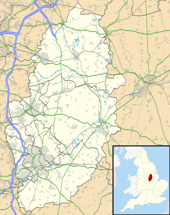 Bevercotes Location within Nottinghamshire | |
| Population | 28 |
| OS grid reference | SK5548 |
| District | |
| Shire county | |
| Region | |
| Country | England |
| Sovereign state | United Kingdom |
| Post town | NOTTINGHAM |
| Postcode district | NG22 |
| Dialling code | 01623 |
| Police | Nottinghamshire |
| Fire | Nottinghamshire |
| Ambulance | East Midlands |
| UK Parliament | |
See also
References
- Ordnance Survey: Landranger map sheet 120 Mansfield & Worksop (Sherwood Forest) (Map). Ordnance Survey. 2014. ISBN 9780319242100.
- "Ordnance Survey: 1:50,000 Scale Gazetteer" (csv (download)). www.ordnancesurvey.co.uk. Ordnance Survey. 1 January 2016. Retrieved 30 January 2016.
- UK Census (2011). "Local Area Report – Bothamsall Parish (E04007794)". Nomis. Office for National Statistics. Retrieved 21 July 2019.
External links
![]()
This article is issued from Wikipedia. The text is licensed under Creative Commons - Attribution - Sharealike. Additional terms may apply for the media files.