Bethel, Washington
Bethel is a census-designated place (CDP) in Kitsap County, Washington, United States. Located a few miles south of the city of Port Orchard, Bethel is a wooded residential area. Most residents commute to Port Orchard or nearby cities. It was first designated a place by the Census Bureau in the 2010 Census, at which time its population was 3,713.[1]
Bethel, Washington | |
|---|---|
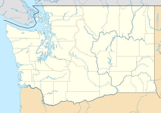 Bethel Location in Washington and the United States  Bethel Bethel (the United States) | |
| Coordinates: 47°29′39″N 122°37′48″W | |
| Country | United States |
| State | Washington |
| County | Kitsap |
| Area | |
| • Total | 3.31 sq mi (8.57 km2) |
| • Land | 3.31 sq mi (8.57 km2) |
| • Water | 0.0 sq mi (0.0 km2) |
| Elevation | 310 ft (90 m) |
| Population | |
| • Total | 3,713 |
| • Density | 1,122/sq mi (433.2/km2) |
| Time zone | UTC-8 (Pacific (PST)) |
| • Summer (DST) | UTC-7 (PDT) |
| ZIP code | 98387 |
| Area code(s) | 360 |
| FIPS code | 53-05735[1] |
| GNIS feature ID | 1512005[2] |
Geography
Bethel is in southern Kitsap County and is bordered to the northwest by Port Orchard, to the north by unincorporated East Port Orchard, and to the northeast by unincorporated Parkwood. Washington State Route 16 forms the western edge of the Bethel CDP; the highway runs northwest 5 miles (8 km) to Gorst and south 23 miles (37 km) to Tacoma. Bremerton is 9 miles (14 km) to the north via State Routes 16 and 3. State Route 160 forms the northern edge of the Bethel CDP and leads east 5 miles (8 km) to Southworth.
According to the U.S. Census Bureau, the Bethel CDP has an area of 3.3 square miles (8.6 km2), all of it land.[1]
References
- "G001: Geographic Identifiers: 2010 Census Summary File 1: Bethel CDP, Washington". United States Census Bureau. Archived from the original on 2020-02-12.
- "Bethel". Geographic Names Information System. United States Geological Survey.
Municipalities and communities of Kitsap County, Washington, United States | ||
|---|---|---|
| Cities |  Map of Washington highlighting Kitsap County | |
| CDPs | ||
| Other unincorporated communities | ||
| Indian reservation | ||