Battle of South Guangxi
The Battle of South Guangxi (simplified Chinese: 桂南会战; traditional Chinese: 桂南會戰; pinyin: Guìnán Huìzhàn) was one of the 22 major engagements between the National Revolutionary Army and Imperial Japanese Army during the Second Sino-Japanese War.
In November 1939, the Japanese landed on the coast of Guangxi and captured Nanning. In this battle, the Japanese successfully cut off Chongqing from the ocean, effectively severing foreign aid to China's war efforts by the sea, rendering Indochina, the Burma Road and The Hump the only ways to send aid to China.
The Chinese launched several major offensives that maximized Japanese casualties. A majority of the conflicts occurred in the fighting for Kunlun Pass. With the success of the Vietnam Expedition in September 1940, the Japanese were able to cut China off from Indochina. Now only the Burma Road and The Hump remained, ending the costly necessity of occupying Guangxi. By November 1940, Japanese forces had evacuated from Guangxi except from some coastal enclaves.
Order of battle
Sources
- Hsu Long-hsuen and Chang Ming-kai, History of The Sino-Japanese War (1937-1945) 2nd Ed., 1971. Translated by Wen Ha-hsiung, Chung Wu Publishing; 33, 140th Lane, Tung-hwa Street, Taipei, Taiwan Republic of China. Pg. 311-318, Pg. 325-327,
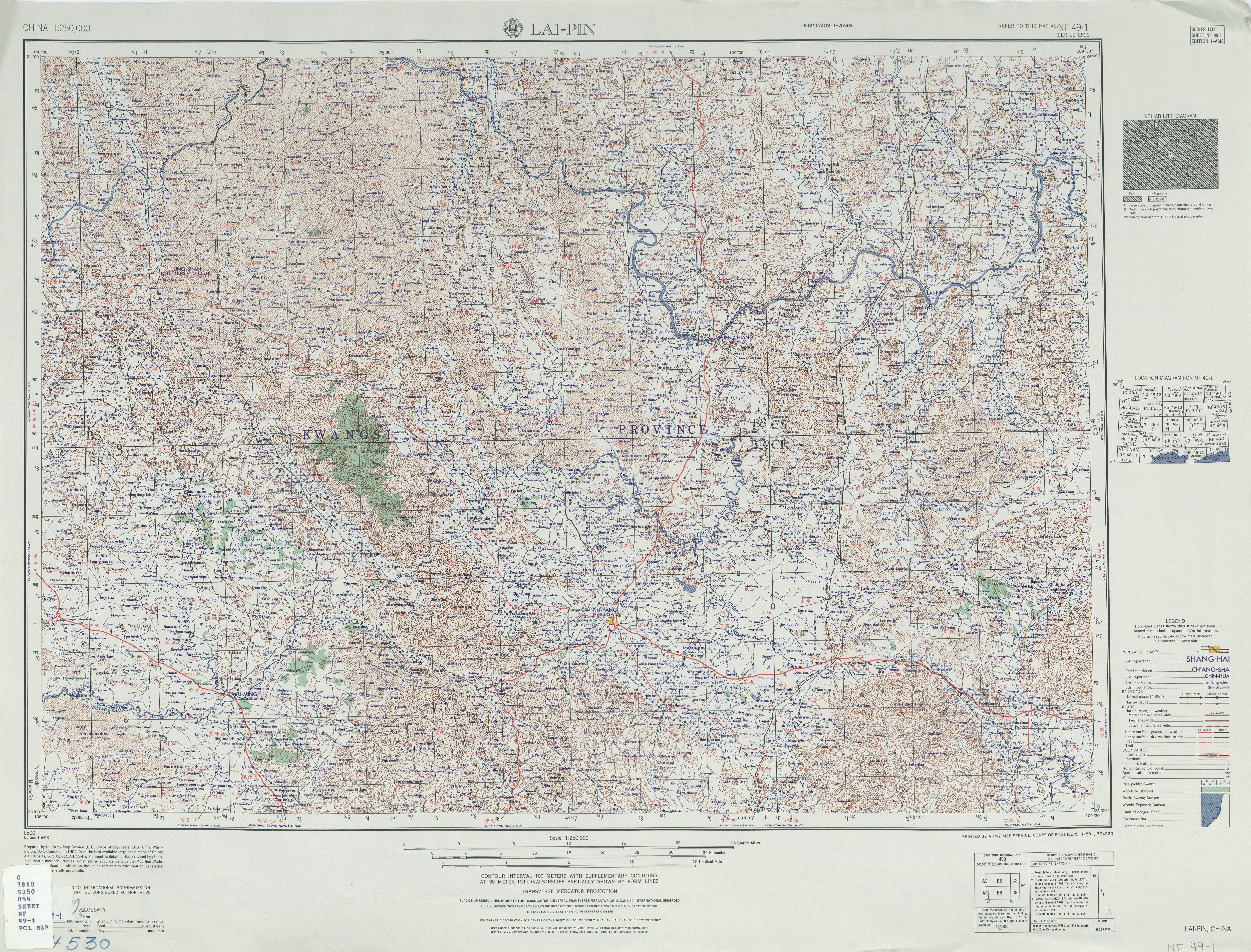
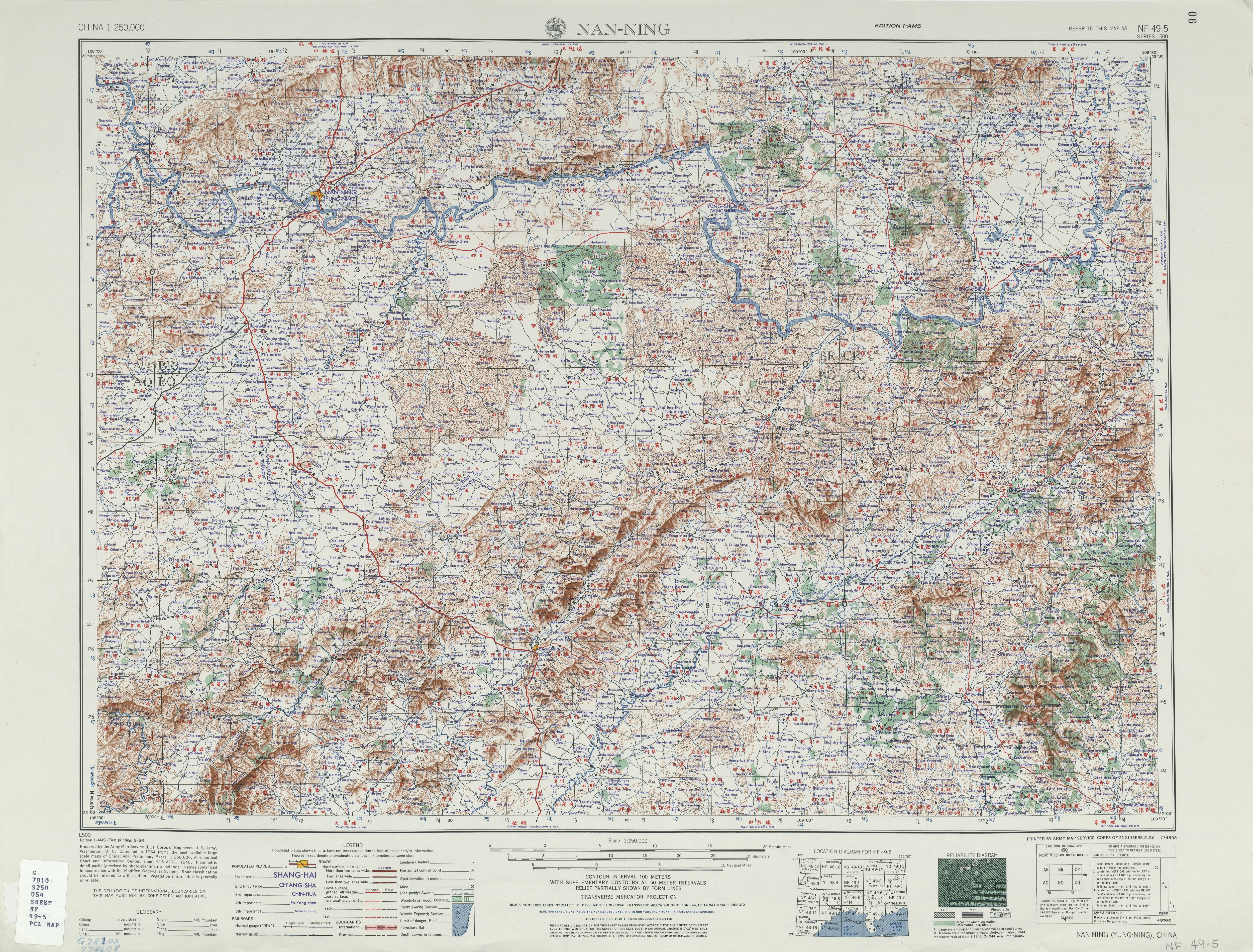
- Perry–Castañeda Library Map Collection, China 1:250,000, Series L500, U.S. Army Map Service, 1954- . Topographic Maps of China during the Second World War.
- These two maps cover the area where most of the fighting went on in the Guangxi campaign:
- Lai-Pin nf49-1, has the Kunlun Pass just above where the road from Nanning enters the map:
- Nanning nf49-5
References
- Article: The Battle of Kunlun Pass http://baike.baidu.com/view/160789.htm?fromId=86375
- War Study: The Occupation of Nanning and the Failure of Kunlun http://warstudy.com/history/world_war/jp_china/408.xml
- Article: The Battle of South Guangxi http://baike.baidu.com/view/641737.htm