Baktalórántháza
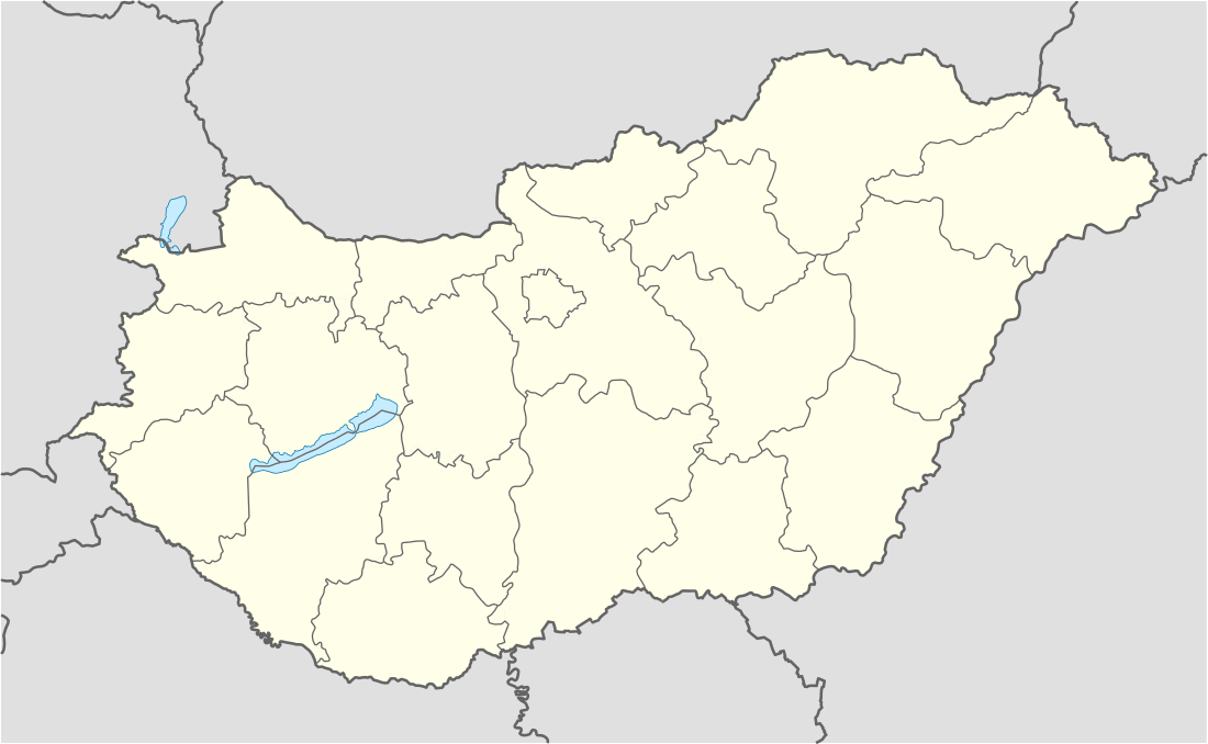
Baktalórántháza is a town in Szabolcs-Szatmár-Bereg county, in the Northern Great Plain region of eastern Hungary.
Baktalórántháza | |
|---|---|
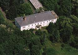 Aerial photograph: Baktalórántháza Palace | |
 Flag  Coat of arms | |
 Baktalórántháza | |
| Coordinates: 48°00′00″N 22°00′05″E | |
| Country | |
| County | Szabolcs-Szatmár-Bereg |
| District | Baktalórántháza |
| Area | |
| • Total | 35.25 km2 (13.61 sq mi) |
| Population (2015)[1] | |
| • Total | 3,987 |
| • Density | 110/km2 (290/sq mi) |
| Time zone | UTC+1 (CET) |
| • Summer (DST) | UTC+2 (CEST) |
| Postal code | 4561 |
| Area code | (+36) 42 |
| Website | baktaloranthaza |
Geography
It covers an area of 35.25 km2 (14 sq mi) and has a population of 3,987 people (2015).
History
Baktalórántháza has been settled since the late Copper Age. The first written documents mentioning the town, called Bakta at the time, date back to 1271.
The building of Castle of Bakta was ordered between 1618-1638 by Graf Laszlo Barkoczy. In the 1710s, Francis II Rákóczi was a frequent guest at the castle.
Religion
The Roman Catholic Church has been prominent in the city's life ever since the Middle Ages. The local Catholic church has been completed in 1282.
The city also has a Greek Catholic church which was built in 1842, in the late Baroque style.
The Presbyterian church was built in the early 17th century, and a church bell was added between 1842–1844.
Education
Baktalórántháza is located geographically in the center of the county. Having a high school of 1,500 students makes the town an important educational city. Even students from Romania attend this institution.
International relations
References
- Notes
- Gazetteer of Hungary, 1 January 2015. Hungarian Central Statistical Office.
- "Łańcut Official Website - Foreign contacts".

External links
| Wikimedia Commons has media related to Baktalórántháza. |
- Official website in Hungarian
| Town (1) |
| |
|---|---|---|
| Large village (1) | ||
| Villages (10) | ||

