Baker City Municipal Airport
Baker City Municipal Airport (IATA: BKE, ICAO: KBKE, FAA LID: BKE) is three miles north of Baker City, in Baker County, Oregon.[1] The National Plan of Integrated Airport Systems for 2011–2015 categorized it as a general aviation facility.[2]
Baker City Municipal Airport | |||||||||||||||||||
|---|---|---|---|---|---|---|---|---|---|---|---|---|---|---|---|---|---|---|---|
| Summary | |||||||||||||||||||
| Airport type | Public | ||||||||||||||||||
| Owner | Baker City | ||||||||||||||||||
| Serves | Baker City, Oregon | ||||||||||||||||||
| Elevation AMSL | 3,373 ft / 1,028 m | ||||||||||||||||||
| Coordinates | 44°50′14″N 117°48′33″W | ||||||||||||||||||
| Website | www.BakerCity.com/... | ||||||||||||||||||
| Map | |||||||||||||||||||
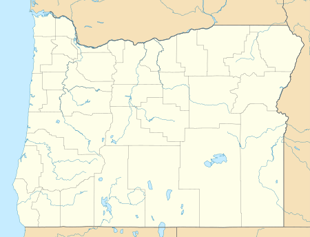 BKE | |||||||||||||||||||
| Runways | |||||||||||||||||||
| |||||||||||||||||||
| Statistics (2010) | |||||||||||||||||||
| |||||||||||||||||||
The first airline flights were Empire Airlines Boeing 247Ds in late 1946; successors West Coast, Air West and Hughes Airwest served Baker until 1973.
Facilities
The airport covers 398 acres (161 ha) at an elevation of 3,373 feet (1,028 m). It has three asphalt runways: 13/31 is 5,095 by 100 feet (1,553 x 30 m); 17/35 is 4,359 by 75 feet (1,329 x 23 m); 8/26 is 3,670 by 140 feet (1,119 x 43 m).[1]
In the year ending July 13, 2010 the airport had 16,200 aircraft operations, average 44 per day: 77% general aviation, 22% air taxi, and 1% military. 37 aircraft were then based at the airport: 76% single-engine, 3% multi-engine, 8% helicopter, and 14% ultralight.[1]
References
- FAA Airport Master Record for BKE (Form 5010 PDF). Federal Aviation Administration. Effective May 31, 2012.
- "2011–2015 NPIAS Report, Appendix A" (PDF). National Plan of Integrated Airport Systems. Federal Aviation Administration. October 4, 2010. Archived from the original (PDF, 2.03 MB) on 2012-09-27.
External links
- Airport page at Baker City website
- Baker Aircraft, the fixed-base operator (FBO)
- Aerial image as of May 1994 from USGS The National Map
- FAA Terminal Procedures for BKE, effective June 18, 2020
- AC-U-KWIK information for KBKE
- Resources for this airport:
- FAA airport information for BKE
- AirNav airport information for KBKE
- ASN accident history for BKE
- FlightAware airport information and live flight tracker
- NOAA/NWS weather observations: current, past three days
- SkyVector aeronautical chart, Terminal Procedures