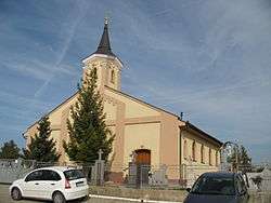
Babindol
Babindol (Hungarian: Babindál) is a village and municipality in the Nitra District in western centralSlovakia, in the Nitra Region.
Babindol | |
|---|---|
Village | |
 | |
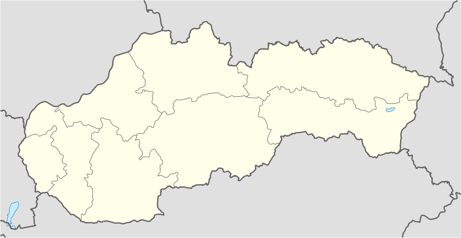 Babindol Location in Slovakia | |
| Coordinates: 48°17′21″N 18°14′29″E | |
| Country | |
| Region | Nitra |
| District | Nitra |
| First mentioned | 1271 |
| Area | |
| • Total | 5.41 km2 (2.09 sq mi) |
| Elevation | 195 m (640 ft) |
| Population (2018) | |
| • Total | 790 |
| • Density | 150/km2 (380/sq mi) |
| Time zone | UTC+1 (CET) |
| • Summer (DST) | UTC+2 (CEST) |
| Postal code | 951 53 |
| Area code(s) | +421-37 |
| Car plate | NR |
| Website | Babindol.sk |
History
In historical records the village was first mentioned in 1271.
Ethnicity
The village is approximately 69% Slovak and 31% Magyar.
Facilities
The village has a public library and football pitch.
Genealogical resources
The records for genealogical research are available at the state archive "Statny Archiv in Nitra, Slovakia"
- Roman Catholic church records (births/marriages/deaths): 1749-1895
- Census records 1869 of Babindol are available at the state archive.
External links
- https://www.webcitation.org/5QjNYnAux?url=http://www.statistics.sk/mosmis/eng/run.html
- Surnames of living people in Babindol
This article is issued from Wikipedia. The text is licensed under Creative Commons - Attribution - Sharealike. Additional terms may apply for the media files.