Azu Mountain
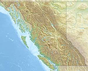
Azu Mountain, is a 1,629-metre (5,406-foot) mountain in the Hart Ranges of the Northern Rockies of British Columbia.[1] The mountain is situated approximately 27 kilometres southwest of Mackenzie, British Columbia. The name is an abbreviation of the nearby Azouzetta Lake and was officially adopted on March 26th, 1985.[2] The Azu Bowl is a popular local ski touring area and is easily accessible from the adjacent Powder King Mountain Resort.
| Azu Mountain | |
|---|---|
 Azu Mountain  Azu Mountain Azu Mountain (Canada) | |
| Highest point | |
| Elevation | 1,648 m (5,407 ft) |
| Prominence | 78 m (256 ft) |
| Parent peak | Powder King Peak |
| Coordinates | 55°21′33″N 122°38′51″W |
| Geography | |
| Location | Pine Pass British Columbia, Canada |
| Parent range | Misinchinka Ranges |
| Topo map | NTS 093O/07 |
Precipitation and snow melt runoff drains into Declier Creek to the south and the Pine River to the north.
References
- "Azu Mountain". PeakVisor. Retrieved 2020-05-06.
- "BC Geographical Names". apps.gov.bc.ca. Retrieved 2020-05-01.
This article is issued from Wikipedia. The text is licensed under Creative Commons - Attribution - Sharealike. Additional terms may apply for the media files.