Avery, Crawford County, Missouri
Avery is an extinct town in eastern Crawford County, in the U.S. state of Missouri.[1] The townsite lies above Avery Hollow about two miles west of Onondaga Cave State Park. Missouri Route MM is adjacent to the site and the Avery cemetery lies between route MM and Avery Hollow.[2][3]
A post office called Avery was established in 1853, and remained in operation until 1865.[4] The community most likely took its name from Avery Valley, which has the name of a local family.[5]
References
- U.S. Geological Survey Geographic Names Information System: Avery (historical)
- Leesburg, Missouri, 7.5 Minute Topographic Quadrangle, USGS, 1948
- Missouri Atlas & Gazetteer, DeLorme, 1998, First edition, p. 47 ISBN 0-89933-224-2
- "Post Offices". Jim Forte Postal History. Archived from the original on 6 March 2016. Retrieved 24 September 2016.
- "Crawford County Place Names, 1928–1945 (archived)". The State Historical Society of Missouri. Archived from the original on 24 June 2016. Retrieved 24 September 2016.CS1 maint: BOT: original-url status unknown (link)
Municipalities and communities of Crawford County, Missouri, United States | ||
|---|---|---|
| Cities | 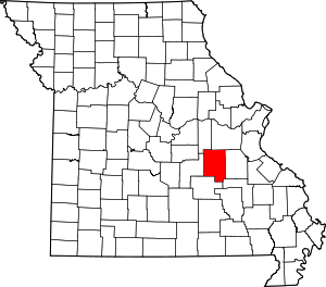 Map of Missouri highlighting Crawford County | |
| Villages | ||
| Townships | ||
| Unincorporated communities | ||
| Ghost towns | ||
| Footnotes | ‡This populated place also has portions in an adjacent county or counties | |
This article is issued from Wikipedia. The text is licensed under Creative Commons - Attribution - Sharealike. Additional terms may apply for the media files.