Auxier, Kentucky
Auxier is an unincorporated community and census-designated place (CDP) in Floyd County, Kentucky, United States.[1] The 2010 United States Census reported that Auxier's population was 669, of which 661 persons were white and 2 persons were black.[2]
Auxier, Kentucky | |
|---|---|
 Auxier Location in Kentucky | |
| Coordinates: 37°44′41″N 82°46′01″W | |
| Country | |
| State | |
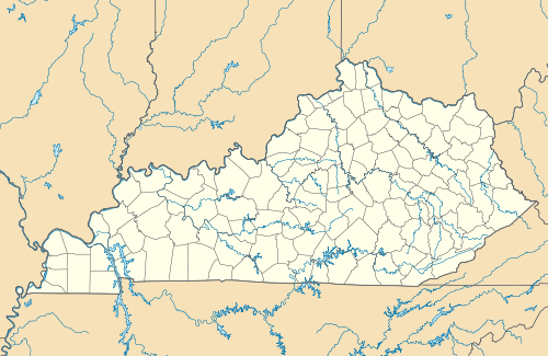
| County | Floyd |
| Area | |
| • Total | 1.0 sq mi (2.5 km2) |
| • Land | 0.9 sq mi (2.4 km2) |
| • Water | 0.04 sq mi (0.1 km2) |
| Elevation | 761 ft (232 m) |
| Population (2010) | |
| • Total | 669 |
| • Density | 725/sq mi (280.0/km2) |
| Time zone | UTC-5 (Eastern (EST)) |
| • Summer (DST) | UTC-4 (EDT) |
| ZIP code | 41602 |
| FIPS code | 21-02764 |
| GNIS feature ID | 2629568 |
| U.S. Geological Survey Geographic Names Information System: Auxier, Kentucky | |
History
Auxier had its start around 1900 as a coal town.[3] The community was named for the local Auxier family.[3]
Geography
Auxier is located along the northern edge of Floyd County, bordered to the south, east, and northeast by the Levisa Fork and to the north by Johnson County. Prestonsburg, the Floyd County seat, is 6 miles (10 km) to the south. According to the U.S. Census Bureau, the Auxier CDP has a total area of 0.97 square miles (2.5 km2), of which 0.93 square miles (2.4 km2) is land and 0.04 square miles (0.1 km2), or 3.85%, is water.[4]
References
- "Feature Detail Report for: Auxier, Kentucky." USGS. U.S. Geological Survey Geographic Names Information System: Auxier, Kentucky Retrieved May 12, 2011.
- United States Census 2010 US Census report for Kentucky
- Rennick, Robert M. (28 August 2013). Kentucky Place Names. University Press of Kentucky. p. 51. ISBN 978-0-8131-4401-6.
- "Geographic Identifiers: 2010 Census Summary File 1 (G001), Auxier CDP, Kentucky". American FactFinder. U.S. Census Bureau. Archived from the original on February 13, 2020. Retrieved May 23, 2016.
Municipalities and communities of Floyd County, Kentucky, United States | ||
|---|---|---|
| Cities | 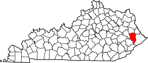 Location of Floyd County, Kentucky | |
| CDPs | ||
| Other unincorporated communities |
| |
| Footnotes | ‡This populated place also has portions in an adjacent county or counties. | |