Attala, Hungary
Attala | |
|---|---|
 Coat of arms | |
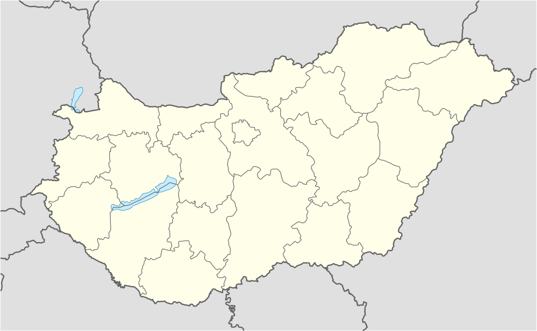 Attala Location of Attala, Hungary | |
| Coordinates: 46.37757°N 18.06721°E | |
| Country | |
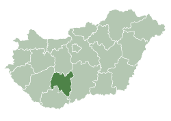
| County | Tolna |
| Area | |
| • Total | 20.64 km2 (7.97 sq mi) |
| Population (2015) | |
| • Total | 820 |
| • Density | 40/km2 (100/sq mi) |
| Time zone | UTC+1 (CET) |
| • Summer (DST) | UTC+2 (CEST) |
| Postal code | 7252 |
| Area code(s) | 74 |
| Website | http://www.attala.hu/ |
Attala is a village in Tolna County, Hungary.
Etymology
According to the local legends the name comes from the name of the mistress of Sülledvár. Her name could be Atala. She committed blasphemy as the legend says and her castle sank into the ground. There was indeed a castle during the Roman times.
The accepted theory states that the name could came from the person name Attila.[1]
History
According to László Szita the settlement was completely Hungarian in the 18th century.[2]
References
External links
- Street map (in Hungarian)
| City with county rights |
|   |
|---|---|---|
| Towns | ||
| Large villages | ||
| Villages |
| |
| Other topics |
| |
This article is issued from Wikipedia. The text is licensed under Creative Commons - Attribution - Sharealike. Additional terms may apply for the media files.