Askerøya
Askerøya is an island in Tvedestrand municipality in Agder county, Norway.[1] The 2.46-square-kilometre (610-acre) island lies along the Skagerrak coast. The island is just southwest of the Lyngør area and just northeast of the islands of Borøya and Sandøya. There is no road connection to the island other than via a ferry. The highest point on the island is the 44-metre (144 ft) tall hill called Flaufjell.
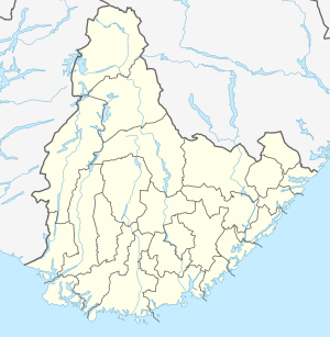 Askerøya Location of the island  Askerøya Askerøya (Norway) | |
| Geography | |
|---|---|
| Location | Agder, Norway |
| Coordinates | 58.6222°N 09.1024°E |
| Area | 2.46 km2 (0.95 sq mi) |
| Length | 4.5 km (2.8 mi) |
| Width | 750 m (2,460 ft) |
| Highest elevation | 44 m (144 ft) |
| Highest point | Flaufjell |
| Administration | |
Norway | |
| County | Agder |
| Municipality | Tvedestrand |
See also
References
- "Askerøya, Tvedestrand (Aust-Agder)" (in Norwegian). yr.no. Retrieved 2016-12-23.
This article is issued from Wikipedia. The text is licensed under Creative Commons - Attribution - Sharealike. Additional terms may apply for the media files.