Ariamsvlei
Ariamsvlei is a settlement of about 500 people in the ǁKaras Region of southern Namibia and a small border post between Namibia and South Africa, located 180 kilometres (110 mi) south-east of Karasburg on the national road B3. It lies at 804 metres (2641 ft) above sea level. The border post on the South African side is called Nakop.
Ariamsvlei | |
|---|---|
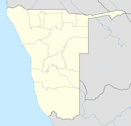 Ariamsvlei Location in Namibia | |
| Coordinates: 28°7′S 19°49′E | |
| Country | |
| Region | ǁKaras Region |
| Constituency | Karasburg Constituency |
| Population (2016)[1] | |
| • Total | 500 to 600 |
| Time zone | UTC+2 (South African Standard Time) |
Ariamsvlei is an important rest stop for long distance trucks, and a railway stop on the line between Windhoek and Upington. It belongs to the Karasburg electoral constituency.[2] The settlement has a petrol station, a shop, and a restaurant.[1]
References
- Jacobs, Clemencia (8 April 2016). "Lack of development irks Ariamsvlei community". New Era.
- Sasman, Catherine (10 November 2010). "Karas profile". New Era.
- Ariamsvlei, Namibia Page. Falling Rain Genomics. Retrieved on 2008-04-21.
- Hardy, Paul; Matthew D. Firestone (2007). Botswana & Namibia. Lonely Planet. p. 383. ISBN 1-74104-760-9.
This article is issued from Wikipedia. The text is licensed under Creative Commons - Attribution - Sharealike. Additional terms may apply for the media files.