Angela, Montana
Angela is a small unincorporated community in Rosebud County, Montana.[1] It is located 25 miles (40 km) northwest of Miles City along Montana Highway 59 at an elevation of 2923 feet (891 m).[1][2] Angela is inside area code 406 and has a post office with ZIP code 59312.[3] The population of the community was 31 at the 2010 United States Census.[4]
Angela, Montana | |
|---|---|
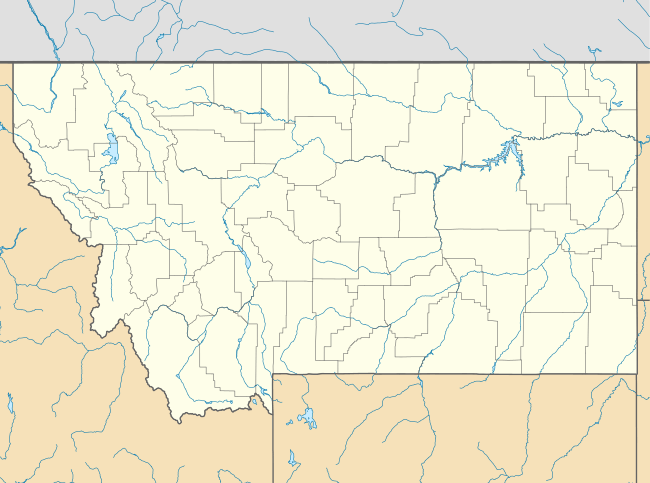 Angela, Montana Location of Angela, Montana  Angela, Montana Angela, Montana (the United States) | |
| Coordinates: 46°43′48″N 106°12′04″W | |
| Country | United States |
| State | Montana |
| County | Rosebud |
| Elevation | 2,923 ft (891 m) |
| Population | |
| • Total | 31 |
| Time zone | UTC-7 (Mountain (MST)) |
| • Summer (DST) | UTC-6 (MDT) |
| ZIP code | 59312 |
| Area code(s) | 406 |
| GNIS feature ID | 768262[1] |
The post office was established in 1913.[5] The postmaster and his wife also built a general store at this location.[6] The store burned down in 1953 but was rebuilt by the surrounding area residents.
References
- "Angela". Geographic Names Information System. United States Geological Survey.
- "Visit Montana - Angela". Retrieved 5 January 2014.
- "Angela, MT Zip Codes". Zip-Codes.com. Retrieved 5 January 2014.
- "U.S. Census website". United States Census Bureau. Retrieved 5 January 2014.
- Carkeek Cheney, Roberta (1983). Names on the Face of Montana. Missoula, Montana: Mountain Press Publishing Company. p. 7. ISBN 0-87842-150-5.
- "Montana Place Names Companion". Montana Historical Society. Retrieved 20 June 2017.
Municipalities and communities of Rosebud County, Montana, United States | ||
|---|---|---|
| Cities | 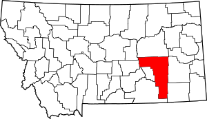 Rosebud County map | |
| CDPs | ||
| Other unincorporated communities | ||
| Indian reservation | ||
| Ghost town | ||
| Footnotes | ‡This populated place also has portions in an adjacent county or counties | |
This article is issued from Wikipedia. The text is licensed under Creative Commons - Attribution - Sharealike. Additional terms may apply for the media files.