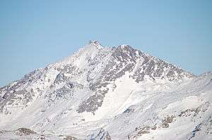
Aiguille Rouge
Aiguille Rouge is a mountain of Savoie, France. It lies in the Vanoise Massif and has an elevation of 3,227 metres above sea level. It is the highest point within the ski area of Les Arcs and is a fairly easy hike from the village below. It can also be accessed by a cable-car which almost reaches the summit area.[2]
| Aiguille Rouge | |
|---|---|
 Aiguille Rouge | |
| Highest point | |
| Elevation | 3,226 m (10,584 ft) |
| Prominence | 292 m (958 ft) [1] |
| Coordinates | 45°33′07″N 06°50′55″E |
| Naming | |
| English translation | Red Needle[2] |
| Language of name | French |
| Geography | |
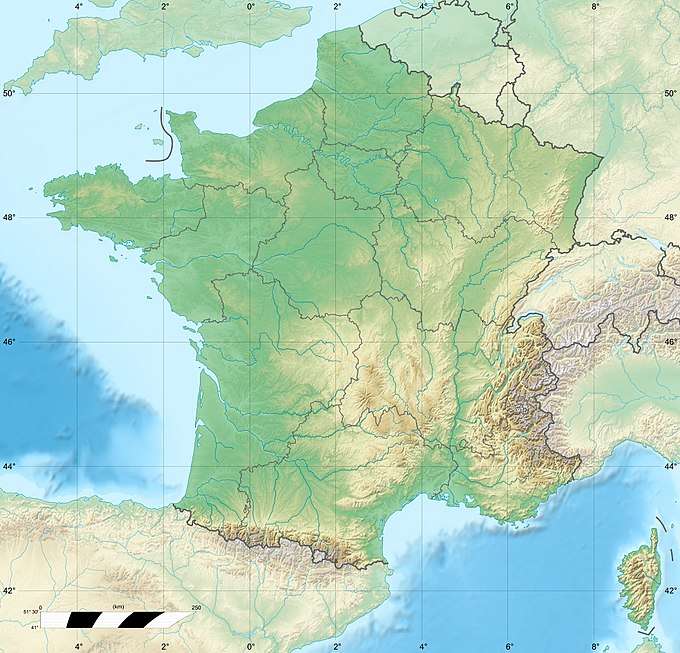 Aiguille Rouge France | |
| Location | Savoie, France |
| Parent range | Vanoise Massif, Graian Alps |
References
- "Aiguille Rouge". peakbagger.com. Retrieved 7 November 2019.
- "Aiguille Rouge - Summitpost". Summitpost.org. Retrieved 7 November 2019.
This article is issued from Wikipedia. The text is licensed under Creative Commons - Attribution - Sharealike. Additional terms may apply for the media files.