Aguadulce Airport
Aguadulce Airport is an airport serving the city of Aguadulce in Coclé Province, Panama.
Aguadulce Airport | |||||||||||
|---|---|---|---|---|---|---|---|---|---|---|---|
| Summary | |||||||||||
| Airport type | Public | ||||||||||
| Serves | Aguadulce, Panama | ||||||||||
| Elevation AMSL | 104 ft / 32 m | ||||||||||
| Coordinates | 8°15′05″N 80°33′55″W | ||||||||||
| Map | |||||||||||
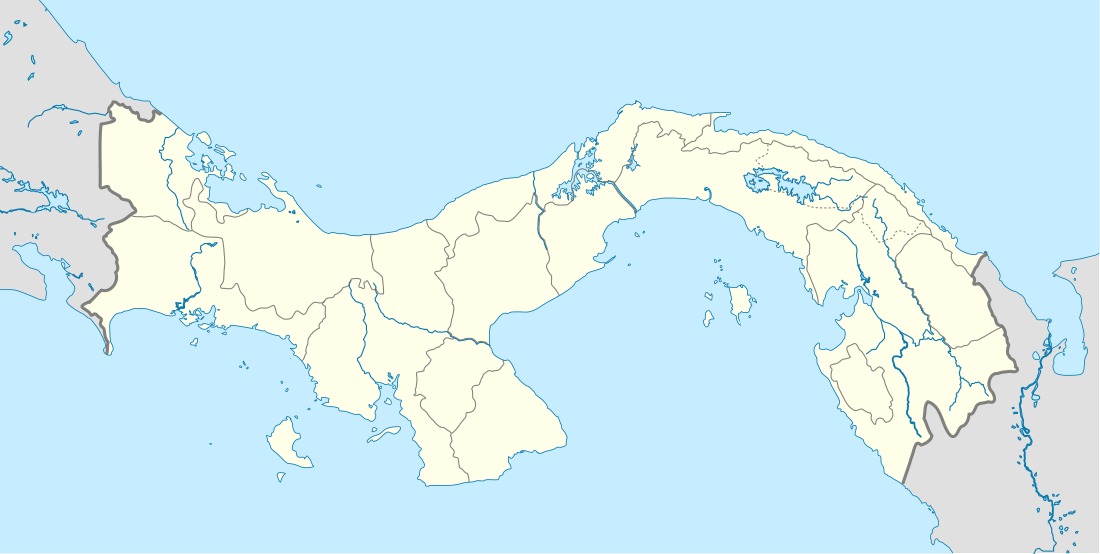 Aguadulce Location in Panama | |||||||||||
| Runways | |||||||||||
| |||||||||||
The runway is adjacent to the west side of the city. There is a dirt road crossing the runway midfield.
The Alonso Valderrama non-directional beacon (Ident: CHE) is located 18.6 nautical miles (34.4 km) south-southeast of the airport. The Santiago VOR-DME (Ident: STG) is located 24.3 nautical miles (45 km) west-southwest of the airport.[3][4]
See also


- Transport in Panama
- List of airports in Panama
References
- Google Maps - Aguadulce
- "Aguadulce Airport". Falling Rain. Retrieved 3 December 2018.
- "Santiago VOR". Our Airports. Retrieved 3 December 2018.
- "Alonso Valderrama NDB". Our Airports. Retrieved 3 December 2018.
External links
This article is issued from Wikipedia. The text is licensed under Creative Commons - Attribution - Sharealike. Additional terms may apply for the media files.