Adam, Oman
Adam (Arabic: أدم, not the same as Adam - the prophet آدم) is a town in the region Ad Dakhiliyah, in northeastern Oman.
Adam | |
|---|---|
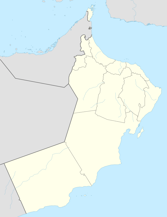 Adam Location in Oman | |
| Coordinates: 22°23′0″N 57°32′0″E | |
| Country | |
| Subdivision | Ad Dakhiliyah Region |
History
The history of the Wilayat of Adam dates back to pre-Islamic times. Adam has several meanings in Arabic but most likely means the fertile land. The most notable places are Harrat Al Ain, Harrat al Bousaid, Harrat Al Hawashim, and Harrat Bani Shiban, where several archeological sites have been found, and Harr Al Jamii, which is more recent. The town is 295 km (183 mi) from Muscat on the Salalah road, at the southernmost end of Dakhiliya's border with Sharqiya region. It is the last green oasis before the desert. Here you can see ancient forts, citadels and towers, mosques and deserted traditional souqs. Adam is adjacent to Manah and Bahla to the north, Mahout and Haima in the Al Wusta region to the south, Wilayat Ibri of the Dhahirah region to the southwest and Wilayat at Mudhaibi of the Sharqiya region to the east. Its population numbers 13,000 in 60 villages.
Climate
| Climate data for Adam | |||||||||||||
|---|---|---|---|---|---|---|---|---|---|---|---|---|---|
| Month | Jan | Feb | Mar | Apr | May | Jun | Jul | Aug | Sep | Oct | Nov | Dec | Year |
| Average high °C (°F) | 24.4 (75.9) |
24.9 (76.8) |
28.2 (82.8) |
33.1 (91.6) |
36.9 (98.4) |
37.9 (100.2) |
36.1 (97.0) |
34.6 (94.3) |
33.9 (93.0) |
32.5 (90.5) |
28.5 (83.3) |
25.4 (77.7) |
31.4 (88.5) |
| Average low °C (°F) | 15.0 (59.0) |
15.8 (60.4) |
18.8 (65.8) |
22.5 (72.5) |
26.0 (78.8) |
27.4 (81.3) |
26.7 (80.1) |
25.5 (77.9) |
24.4 (75.9) |
22.1 (71.8) |
18.3 (64.9) |
16.1 (61.0) |
21.6 (70.8) |
| Average precipitation mm (inches) | 5 (0.2) |
23 (0.9) |
16 (0.6) |
11 (0.4) |
2 (0.1) |
2 (0.1) |
3 (0.1) |
6 (0.2) |
1 (0.0) |
0 (0) |
3 (0.1) |
4 (0.2) |
76 (3.0) |
| Source: Climate-data.org | |||||||||||||