Acıgöl–Nevşehir
Acıgöl–Nevşehir is a volcano in Turkey with an elevation of 1,689 metres (5,541 ft).
| Acıgöl–Nevşehir | |
|---|---|
 Acıgöl–Nevşehir | |
| Highest point | |
| Elevation | 1,689 m (5,541 ft) [1] |
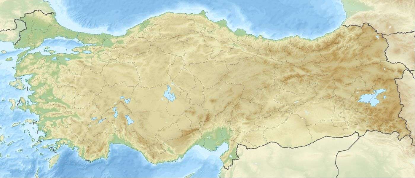
| Coordinates | 38°32′28″N 34°37′13″E [2] |
| Geography | |
| Location | Turkey |
| Geology | |
| Last eruption | 2080 BC ± 200 years[1] |
It is a caldera volcano about 7 by 8 km wide and is traversed by the national highway from Acıgöl to Nevşehir.
See also
References
- "Acigol-Nevsehir". Global Volcanism Program. Smithsonian Institution. Retrieved 2010-03-19.
- "Googlemaps". Retrieved 2010-07-13.
- Froger, J.-L; Lénat, J.-F; Chorowicz, J; Le Pennec, J.-L; Bourdier, J.-L; Köse, O; Zimitoglu, O; Gündogdu, N.M; Gourgaud, A (1998). "Hidden calderas evidenced by multisource geophysical data; example of Cappadocian Calderas, Central Anatolia". Journal of Volcanology and Geothermal Research. 85: 99. Bibcode:1998JVGR...85...99F. doi:10.1016/S0377-0273(98)00052-3.
| Mountain ranges | |
|---|---|
| Mountains |
|
This article is issued from Wikipedia. The text is licensed under Creative Commons - Attribution - Sharealike. Additional terms may apply for the media files.