1992 St. George earthquake
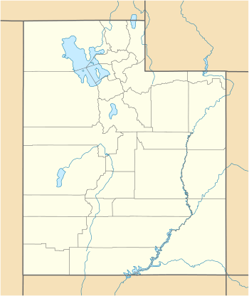
The 1992 St. George earthquake was a Mw5.8 earthquake that occurred on September 2, 1992 at approximately 4:26 AM MDT along the Washington Fault zone near the larger Hurricane Fault about 5 miles (8.0 km) southeast of St. George in Utah, United States. The quake triggered a landslide that destroyed three houses and caused approximately US$1 million in structural and cosmetic damage to houses, roads, natural formations, and utilities. No people were killed by the quake.
 Salt Lake City | |
| UTC time | 1992-09-02 10:26 |
|---|---|
| ISC event | 271074 |
| USGS-ANSS | ComCat |
| Local date | September 2, 1992 |
| Local time | 04:26 a.m. MDT |
| Magnitude | Mw5.8 |
| Depth | 13.9 km (8.6 mi) |
| Epicenter | 37.1°N 113.497°W |
| Fault | Hurricane Fault |
| Areas affected | Utah, southern Nevada, northwest Arizona |
| Total damage | US$1 million |
| Max. intensity | VII (Very Strong) |
| Peak acceleration | 0.233 g |
| Peak velocity | 2.998 cm/s |
| Aftershocks | 0 |
| Casualties | 0 |
Earthquake
At 4:26 AM MDT on September 2, 1992, a magnitude 5.8 earthquake occurred along the Washington Fault zone near the larger Hurricane Fault about 5 miles (8.0 km) southeast of St. George in Utah, United States.[1]
Magnitude
Reports on the magnitude of the earthquake vary.[1][2][3] The University of Utah reported the quake as a Mw5.8 in their official report via the Intermountain Seismic Belt Historical Earthquake Project,[4] which is supported by a 1994 news article from the Deseret News[5] and an official report from the Utah Geological Survey.[6] A contemporaneous report from the journal Arizona Geology reported Mw5.5 from the University of Arizona and Mw5.9 from the USGS.[1]
Destruction
Most of the force of the earthquake was directed away from the city of St. George toward Hurricane and Springdale.[5] In the Balanced Rock Hills area of Springdale, a landslide covered part of Utah State Route 9, taking several hours to complete movement.[6] The slide was about 1,600 feet (490 m) long and 3,600 feet (1,100 m) wide, contained boulders up to 20 feet (6.1 m) in diameter, with a total volume of 18,000,000 cubic yards (14,000,000 m3) and total area of 4,400,400 square feet (408,810 m2).[2][6] It destroyed three houses as well as above- and below-ground utilities, causing about US$1 million in damage.[5][6]
References
- Pearthree, Philip A.; Wallace, Terry C. (Winter 1992). "The St. George Earthquake of September 2, 1992" (PDF). Arizona Geology. 22 (4): 7–8. Archived (PDF) from the original on December 28, 2017. Retrieved March 18, 2020.
- Associated Press (September 3, 1992). "Southwest Utah Is Jolted by Early-Morning Quake". Deseret News. Archived from the original on March 18, 2020. Retrieved March 18, 2020.
- Rowe, Gina (March 18, 2020). "A history of Utah's largest earthquakes". KUTV. Archived from the original on March 18, 2020. Retrieved March 18, 2020.
- Peterson, Sheryl. "1992 – St. George, UT – M 5.8". University of Utah. Archived from the original on March 18, 2020. Retrieved March 18, 2020.
- Associated Press (May 15, 1994). "'92 quake left St. George virtually unshaken". Deseret News. Retrieved March 18, 2020.
- Christenson, Gary E., ed. (1995). The September 2, 1992 ML 5.8 St. George Earthquake, Washington County, Utah (PDF). Utah Geological Survey. ISBN 1-55791-367-6. Archived (PDF) from the original on December 13, 2016. Retrieved March 18, 2020.