Årnes
Årnes is the administrative centre of Nes municipality, Akershus, Norway.
Årnes | |
|---|---|
Village | |
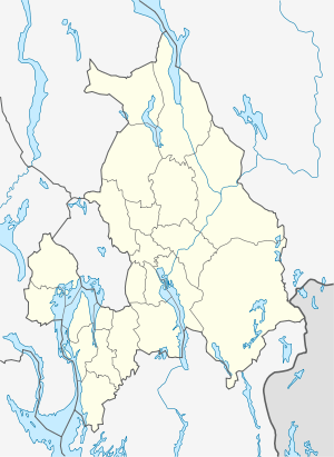 Årnes Location within Norway | |
| Coordinates: 60°7′20″N 11°27′55″E | |
| Country | Norway |
| County | Akershus |
| District | Romerike |
| Municipality | Nes |
| Area | |
| • Total | 3.23 km2 (1.25 sq mi) |
| Population (2009) | |
| • Total | 3,665 |
| • Density | 1,135/km2 (2,940/sq mi) |
| Time zone | UTC+1 (CET) |
| • Summer (DST) | UTC+2 (CEST) |
| Postal code | 2150 |
Its population (2005) is 3,140; the largest in Nes. Årnes is located in the north-east of Akershus county along the Glomma River, Norway's largest and longest, in Nes municipality. Areas that compose Årnes are among others Årnes sentrum, Runni, Drognes, Høie, Fjuk, Dragsjø, Kjus, Fjellfoten, Bodding, Henni, Husmo, Østgård, Bjørknes and Sagstua.
History
Årnes and the fields surrounding it was known as Årnes Gård (Årnes farm) until 1862 when the railway between Christiania and Kongsvinger was built. Årnes got a train-station and this made it easier to transport lumber and other materials from the village to the capital.
This article is issued from Wikipedia. The text is licensed under Creative Commons - Attribution - Sharealike. Additional terms may apply for the media files.