Àger
Àger is a municipality in the comarca of the Noguera in Catalonia, Spain. It is situated in the north-west of the comarca, and the territory of the municipality stretches between the Noguera Ribagorçana and Noguera Pallaresa rivers. The Terradets reservoir on the Noguera Pallaresa is situated within the municipality. The village is linked to Balaguer and Tremp by the L-904 road.
Àger | |
|---|---|
_Catalonia.jpg) Mare de Déu de la Pertusa in Corçà | |
 Coat of arms | |
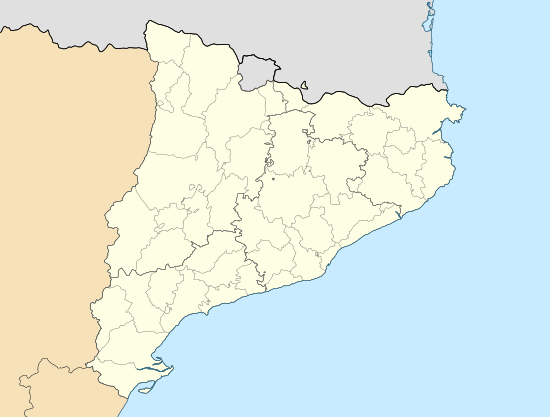 Àger Location in Catalonia | |
| Coordinates: 42°0′13″N 0°45′45″E | |
| Country | |
| Community | |
| Province | Lleida |
| Comarca | Noguera |
| Government | |
| • Mayor | Lluís Ardiaca Montardit (2015)[1] |
| Area | |
| • Total | 160.6 km2 (62.0 sq mi) |
| Elevation | 642 m (2,106 ft) |
| Population (2018)[3] | |
| • Total | 611 |
| • Density | 3.8/km2 (9.9/sq mi) |
| Demonym(s) | Agerenc |
| Postal code | 25691 |
| Website | www |
Villages
- Àger town, 317 inhabitants.
- Agulló, 45 inhabitants.
- Corçà, 32 inhabitants.
- Fontdepou, 16 inhabitants.
- Els Masos de Millà, 17 inhabitants.
- Millà, 5 inhabitants.
- La Règola, 21 inhabitants.
- Sant Josep de Fontdepou, 19 inhabitants.
- Vilamajor, 13 inhabitants.
See also
- Viscounty of Àger
- Apostles from Àger
- Montsec
References
- "Ajuntament d'Àger". Generalitat of Catalonia. Retrieved 2015-11-13.
- "El municipi en xifres: Àger". Statistical Institute of Catalonia. Retrieved 2015-11-23.
- Municipal Register of Spain 2018. National Statistics Institute.
- Panareda Clopés, Josep Maria; Rios Calvet, Jaume; Rabella Vives, Josep Maria (1989). Guia de Catalunya, Barcelona: Caixa de Catalunya. ISBN 84-87135-01-3 (Spanish). ISBN 84-87135-02-1 (Catalan).
External links
| Wikimedia Commons has media related to Àger. |
- Official website (in Catalan)
- Government data pages (in Catalan)
Places adjacent to Àger | |
|---|---|
This article is issued from Wikipedia. The text is licensed under Creative Commons - Attribution - Sharealike. Additional terms may apply for the media files.