Zugerberg
| Zugerberg | |
|---|---|
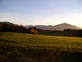 Zugerberg from the south | |
| Highest point | |
| Peak | Hünggigütsch |
| Elevation | 1,039 m (3,409 ft) |
| Prominence | 79 m (259 ft) [1] |
| Isolation | 2.74 kilometres (1.70 mi) |
| Coordinates | 47°08′21″N 8°32′18″E / 47.13917°N 8.53833°ECoordinates: 47°08′21″N 8°32′18″E / 47.13917°N 8.53833°E |
| Geography | |
 Zugerberg Location in Switzerland | |
| Location | Zug |
| Country | Switzerland |
| Parent range | Schwyzer Alps |
| Topo map | Swiss Federal Office of Topography swisstopo |
The Zugerberg is a mountain overlooking Zug and Lake Zug in the Zug. It lies approximately halfway between Lake Zug and Lake Ägeri.
The Zugerbergbahn funicular connects the Zugerberg from Zug. The upper station is located at a height of 925 metres and is a popular vantage point as well as a recreational area. The summit proper is entirely wooded.
A road pass named Sätteli (975 m) is located north of the summit.
References
- "Zugerberg". Zug-Tourismus. 2009. Retrieved 2009-05-21.
External links
| Wikimedia Commons has media related to Zugerberg. |
This article is issued from
Wikipedia.
The text is licensed under Creative Commons - Attribution - Sharealike.
Additional terms may apply for the media files.