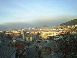
Zmeitsa
| Zmeitsa Змейца | |
|---|---|
| Village | |
 | |
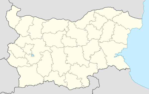 Zmeitsa Location of Zmeitsa | |
| Coordinates: 41°38′N 24°15′E / 41.633°N 24.250°ECoordinates: 41°38′N 24°15′E / 41.633°N 24.250°E | |
| Country |
|
| Province (Oblast) | Smolyan |
| Municipality (Obshtina) | Dospat |
| Government[1] | |
| • Mayor | Venelin Doikov (Social democrats) |
| Area | |
| • Total | 34.643 km2 (13.376 sq mi) |
| Elevation | 1,327 m (4,354 ft) |
| Population (2010-12-15)[2] | |
| • Total | 1,473 |
| Time zone | UTC+2 (EET) |
| • Summer (DST) | UTC+3 (EEST) |
| Postal Code | 4834 |
| Area code(s) | 03043 |
| Car plates | CM |
Zmeitsa (Bulgarian: Змейца) is a village in southwestern Bulgaria. It is located in the municipality of Dospat, Smolyan Province.
Geography
The village of Zmeitsa is located in the Western Rhodope Mountains. It is the easternmost settlement in the Chech region. The highest peak is Gioz Tepe - 1652 m.
Religion
Christian and Muslim
Public institutions
Local government office, library, kindergarten and school.
Sights
- Roman-style bridge over the Sarnena reka river.[3]
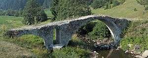
Roman-style bridge
Notes
- ↑ http://results.cik.bg/tur2/mestni/2110_31259.html
- ↑ (in Bulgarian) Table of the population in Smolyan District
- ↑ "Archived copy". Archived from the original on July 21, 2011. Retrieved August 15, 2008.
This article is issued from
Wikipedia.
The text is licensed under Creative Commons - Attribution - Sharealike.
Additional terms may apply for the media files.