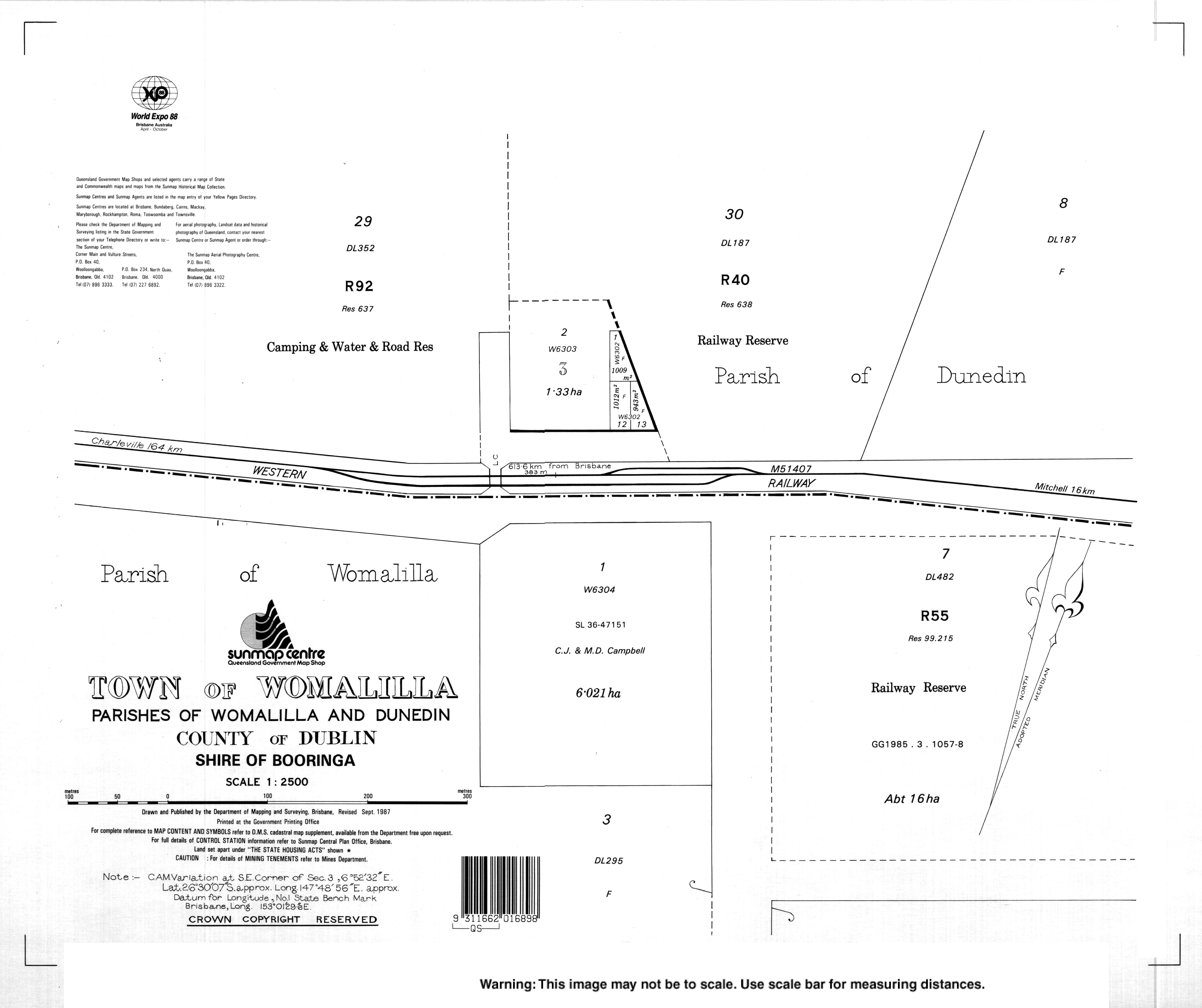
Womalilla, Queensland
| Womalilla Queensland | |||||||||||||||
|---|---|---|---|---|---|---|---|---|---|---|---|---|---|---|---|
 Womalilla | |||||||||||||||
| Coordinates | 26°29′59″S 147°49′02″E / 26.4997°S 147.8172°ECoordinates: 26°29′59″S 147°49′02″E / 26.4997°S 147.8172°E | ||||||||||||||
| Postcode(s) | 4465 | ||||||||||||||
| Area | 1,368.4 km2 (528.3 sq mi) | ||||||||||||||
| LGA(s) | Maranoa Region | ||||||||||||||
| State electorate(s) | Warrego | ||||||||||||||
| Federal Division(s) | Maranoa | ||||||||||||||
| |||||||||||||||
Womalilla is a town and a locality in the Maranoa Region, Queensland, Australia.[1][2]
Geography
Womalilla Creek rise through the locality in the north-west and flows south-east to become a tributary of the Maranoa River.[3]
History
The town's name is derived from a pastoral run name used from 1862, reportedly an Aboriginal word group for trees by a creek (from womal meaning tree/timber and illa meaning creek).[1]
References
- 1 2 "Womalilla - town in Maranoa Region (entry 37849)". Queensland Place Names. Queensland Government. Retrieved 30 December 2017.
- ↑ "Womalilla - locality in Maranoa Region (entry 47469)". Queensland Place Names. Queensland Government. Retrieved 30 December 2017.
- ↑ "Queensland Globe". State of Queensland. Retrieved 2 January 2018.
External links
This article is issued from
Wikipedia.
The text is licensed under Creative Commons - Attribution - Sharealike.
Additional terms may apply for the media files.