Wolfskopf
| Wolfskopf | |
|---|---|
 Wolfskopf Lower Saxony, Germany | |
| Highest point | |
| Elevation | 668.5 m (2,193 ft) |
| Coordinates | 51°45′40″N 10°25′24″E / 51.761°N 10.4233°ECoordinates: 51°45′40″N 10°25′24″E / 51.761°N 10.4233°E |
| Geography | |
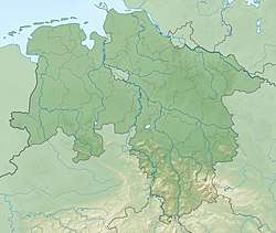
| Location | Lower Saxony, Germany |
| Parent range | Harz Mountains |
The Wolfskopf ("Wolf's Head") is a 668.5 metre high mountain in the West Harz in central Germany. It lies in the district of Göttingen roughly 2 km east of Kamschlacken and about 5 km southwest of Altenau.
The Wolfsklippen crags, to the south which extend for about 60 metres in length (580 to 640 m above NN), are classed as a natural monument.
See also
- List of mountains and hills in Lower Saxony
- Wolfskopf (Sauerland)
Sources
- Topographische Karte 1:25000, No. 4228 Riefensbeek
This article is issued from
Wikipedia.
The text is licensed under Creative Commons - Attribution - Sharealike.
Additional terms may apply for the media files.