Wheatpieces
| Wheatpieces | |
|---|---|
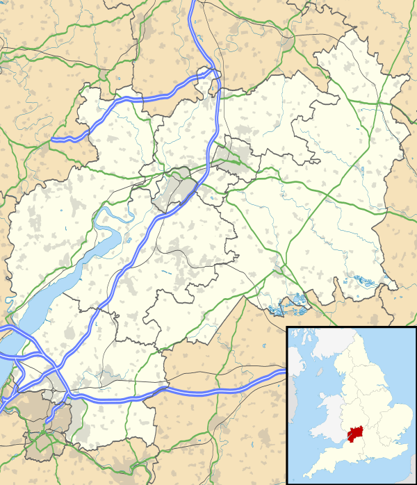 Wheatpieces Wheatpieces shown within Gloucestershire | |
| OS grid reference | SO9032 |
| Civil parish |
|
| District | |
| Shire county | |
| Region | |
| Country | England |
| Sovereign state | United Kingdom |
| Post town | Tewkesbury |
| Postcode district | GL20 |
| Dialling code | 01684 |
| Police | Gloucestershire |
| Fire | Gloucestershire |
| Ambulance | South Western |
| EU Parliament | South West England |
Wheatpieces is a large housing estate and civil parish in Gloucestershire, England. It lies immediately east of Tewkesbury, and is in effect a suburb of that town. The River Swilgate forms the western boundary of the parish.
The estate was developed in the 1990s on agricultural land in the western part of the parish of Walton Cardiff. In 2008 the civil parish of Wheatpieces was created from the western part of the former civil parish of Walton Cardiff, which was abolished. The remainder of the civil parish of Walton Cardiff became part of the parish of Ashchurch Rural.[1]
References
- ↑ The Tewkesbury (Parishes) Order 2007 Archived 2012-03-14 at the Wayback Machine.
External links
![]()
This article is issued from
Wikipedia.
The text is licensed under Creative Commons - Attribution - Sharealike.
Additional terms may apply for the media files.