Whanganui Airport
| Whanganui Airport | |||||||||||||||||||||||||||
|---|---|---|---|---|---|---|---|---|---|---|---|---|---|---|---|---|---|---|---|---|---|---|---|---|---|---|---|
| Summary | |||||||||||||||||||||||||||
| Location | Whanganui, New Zealand | ||||||||||||||||||||||||||
| Elevation AMSL | 27 ft / 8 m | ||||||||||||||||||||||||||
| Coordinates | 39°57′44″S 175°01′31″E / 39.96222°S 175.02528°E | ||||||||||||||||||||||||||
| Map | |||||||||||||||||||||||||||
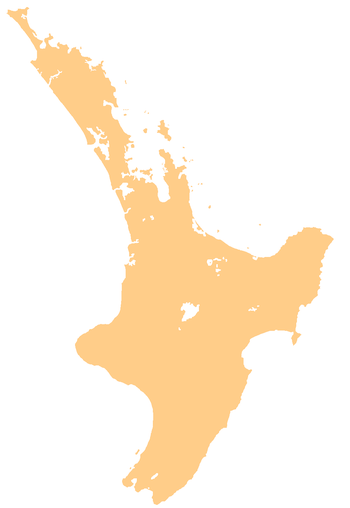 WAG Location of airport in North Island | |||||||||||||||||||||||||||
| Runways | |||||||||||||||||||||||||||
| |||||||||||||||||||||||||||
|
Source: World Aero Data [1] | |||||||||||||||||||||||||||
Whanganui Airport (named Wanganui Airport until 2016) is the airport that serves Whanganui, New Zealand (IATA: WAG, ICAO: NZWU). It is located to the south of Whanganui River, approximately 4km from the centre of Whanganui. The airport was opened in 1954, and services to the airport began in November that year.[2] In September 2013, Air New Zealand announced that it would withdraw services from Whanganui to Wellington and Taupo in December 2013. Sounds Air briefly took over the Wellington route, however this was later terminated on 15 May 2015. The airport has a single terminal with just two gates. Air Chathams now operates to Wanganui with a Saab 340A and a Metroliner III.
Airlines and destinations
| Airlines | Destinations |
|---|---|
| Air Chathams | Auckland[3][4] |
See also
References
- ↑ "Wanganui - Nzwu". World Aero Data. Retrieved 2018-09-04.
- ↑ http://www.airnewzealand.co.nz/assets/PDFs/history.pdf
- ↑ Takeflite. "Whanganui Schedule". Air Chathams.
- ↑ "Air Chathams steps in as Air NZ pulls out of Whanganui". Stuff.co.nz. Retrieved 30 May 2016.
External links
This article is issued from
Wikipedia.
The text is licensed under Creative Commons - Attribution - Sharealike.
Additional terms may apply for the media files.