West Mickley
| West Mickley | |
|---|---|
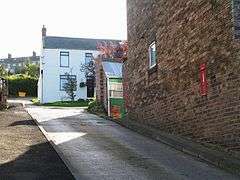 Houses in West Mickley | |
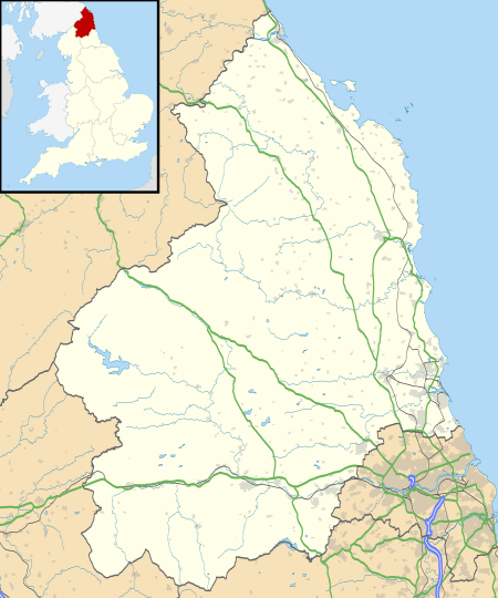 West Mickley West Mickley shown within Northumberland | |
| Unitary authority | |
| Ceremonial county | |
| Region | |
| Country | England |
| Sovereign state | United Kingdom |
| Post town | HEXHAM |
| Police | Northumbria |
| Fire | Northumberland |
| Ambulance | North East |
| EU Parliament | North East England |
| UK Parliament | |
West Mickley /ˈmɪkliː/ is a hamlet in the southern part of Northumberland, England.[1] It is located near the villages of High Mickley and Mickley Square, east of Stocksfield. It is also about half a mile or a bit more away from the town of Prudhoe and is south of the River Tyne. It is not a big village, being nearly half a mile in length with a main road stretching the full length of it (A695).
Things to do
There's a little park next to the houses and a field big enough for dogs to roam. Also there is a nice walk through the woods at the opposite side of the Road to the houses. Not many people use the park or the woods perfect for a peaceful walk, but the path is well visible. There is a pub called The Blue Bell Inn on a road called the Stonybank, hard to find but east of the petrol station at Branch End in Stocksfield.