Weiyuan Dam
| Weiyuan Dam | |
|---|---|
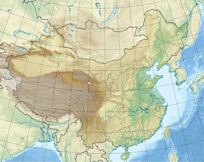
 Location of Weiyuan Dam in China | |
| Country | China/North Korea |
| Location | Ji'an, Jilin Province/Manpo, Chagang Province |
| Coordinates | 40°54′05.83″N 125°58′23.77″E / 40.9016194°N 125.9732694°ECoordinates: 40°54′05.83″N 125°58′23.77″E / 40.9016194°N 125.9732694°E |
| Purpose | Power |
| Status | Operational |
| Construction began | 1979 |
| Opening date | 1987 |
| Dam and spillways | |
| Impounds | Yalu River |
| Height | 55 m (180 ft) |
| Length | 637 m (2,090 ft) |
| Elevation at crest | 171 m (561 ft) |
| Spillway type | Gate-controlled |
| Reservoir | |
| Total capacity | 626,000,000 m3 (507,506 acre⋅ft) |
| Catchment area | 31,602 km2 (12,202 sq mi) |
| Normal elevation | 164 m (538 ft) |
| Power Station | |
| Commission date | 1987-1988 |
| Hydraulic head | 39 m (128 ft) (design) |
| Turbines | 6 x 65 MW Francis-type |
| Installed capacity | 390 MW |
| Annual generation | 1200 GWh |
The Weiyuan Dam is a gravity dam on the Yalu River between China and North Korea. It is located 40 km (25 mi) southwest of Ji'an in Jilin Province, China and Manpo in Chagang Province, North Korea. It was constructed between 1979 and 1987. The dam's six 65 MW generators were commissioned in 1987 and 1988. It is jointly owned and operated by China and North Korea.[1][2]
See also
References
- ↑ "Weiyuan hydropower (渭源水电站)" (in Chinese). Neidri. Retrieved 21 June 2013.
- ↑ 渭源水电站 (in Chinese). iCIBA. Retrieved 21 June 2013.
This article is issued from
Wikipedia.
The text is licensed under Creative Commons - Attribution - Sharealike.
Additional terms may apply for the media files.