Waverley Parish (Thoulcanna County), New South Wales
Thoulcanna County
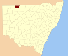
Waverley Parish (Thoulcanna County), New South Wales is a remote civil Parish, of the Thoulcanna County,[1] a cadasteral division of New South Wales.[2]
Geography
The topography is the flat and arid with a Köppen climate classification of BSh (Hot semi arid).[3]
The economy in the parish is based on broad acre agriculture, mainly Cattle. There are no towns in the parish and the nearest settlement is Hungerford, Queensland and wanaaring, New South wales. The Queensland and New South Wales Border runs along the northern boundary of the parish.
History
The parish is on the traditional land of the Karrengappa, and Barundji people and in the 1890s was included in the Albert Goldfields. The Waverley Downs cattle Station was centered on the parish.
See also
References
- ↑ Map of the County of Thoulcanna, Western Division, N.S.W., 1914 (Department of Lands, Sydney N.S.W, 1914).
- ↑ "Thoulcanna". Geographical Names Register (GNR) of NSW. Geographical Names Board of New South Wales. Retrieved 4 August 2013.
- ↑ Peel, M. C.; Finlayson, B. L.; McMahon, T. A. (2007). "Updated world map of the Köppen–Geiger climate classification". Hydrol. Earth Syst. Sci. 11: 1633–1644. doi:10.5194/hess-11-1633-2007. ISSN 1027-5606. (direct: Final Revised Paper)
This article is issued from
Wikipedia.
The text is licensed under Creative Commons - Attribution - Sharealike.
Additional terms may apply for the media files.