Ward, New Zealand
| Ward | |
|---|---|
 Ward | |
| Coordinates: 41°49′38″S 174°8′16″E / 41.82722°S 174.13778°E | |
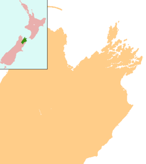
| Country | New Zealand |
| Region | Marlborough |
| Population (2006) | |
| • Total | 903 |
Ward is a small town in Marlborough, New Zealand, with a population of about 900 residents. It is located on State Highway 1, 82 kilometres (51 mi) north of Kaikoura. The Flaxbourne River flows past to the north and into the Pacific Ocean to the south-east of Ward.[1][2] A current initiative aims to have the town renamed as Flaxbourne.
History

Flaxbourne Station was established in the area around 1847.[3] In 1905, most of the station was subdivided as part of the government's land reform, and Ward township was formed.[4] The area was known by the name of the station. On the initiative of Richard Seddon, who was prime minister at the time, the township was named after his friend and political colleague Joseph Ward; a measure that was controversial at the time. The township of Seddon, named after Richard Seddon at the same time, is 20 kilometres (12 mi) north of Ward.[5]
In 1961 the population was 218.[6] The population was 903 in the 2006 census, an increase of 3 from 2001.[7]
As of 2017, there is a campaign to have the town renamed as Flaxbourne. The NZ Geographic Board, i.e. the organisation that has the final say on place names in New Zealand, has advised that the name Ward has never been officially registered.[5]
Education
Ward School is a coeducational full primary (years 1–8) school with a roll of approximately 39.[8] A celebration to mark 100 years of schooling in the area was held in 2006.[9]
The nearest secondary schools are Marlborough Boys' College and Marlborough Girls' College, both 48 km (30 mi) away in Blenheim.
References
- ↑ Peter Dowling (editor) (2004). Reed New Zealand Atlas. Reed Books. map 67. ISBN 0-7900-0952-8.
- ↑ Roger Smith, GeographX (2005). The Geographic Atlas of New Zealand. Robbie Burton. map 147. ISBN 1-877333-20-4.
- ↑ "Sheep Farming – General Management and Breeds". Encyclopedia of New Zealand (1966).
- ↑ Marlborough Historical Society (2005). Click – A Captured Moment – Marlborough's Early Heritage. Blenheim: Marlborough Historical Society. p. 102. ISBN 0-473-10475-X.
- 1 2 Lewis, Oliver (9 June 2017). "Campaign for a new town name". The Press. p. A4. Retrieved 9 June 2017.
- ↑ "Marlborough Region – Landscape Pattern". Encyclopedia of New Zealand (1966).
- ↑ Quickstats about Ward
- ↑ "Directory of Schools - as at 13 September 2018". New Zealand Ministry of Education. Retrieved 22 September 2018.
- ↑ "Ward School Centenary, Marlborough". Education Gazette New Zealand. 85 (5). 10 April 2006.
External links
