Wankaner
| Wankaner | |
|---|---|
| city | |
 Wankaner palace | |
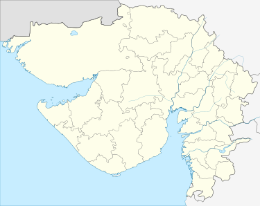
 Wankaner Location in Gujarat, India  Wankaner Wankaner (India) | |
| Coordinates: 22°37′N 70°56′E / 22.62°N 70.93°ECoordinates: 22°37′N 70°56′E / 22.62°N 70.93°E | |
| Country | India |
| State | Gujarat |
| District | Morbi |
| Elevation | 81 m (266 ft) |
| Population (2011)[1] | |
| • Total | 43,881 |
| Languages | |
| • Official | Gujarati, Hindi |
| Time zone | UTC+5:30 (IST) |
| Vehicle registration | GJ |
| Website |
gujaratindia |
Wankaner is a city and a municipality in Morbi district in the State of Gujarat. Until 2013, Wankaner was part of the Rajkot district.
Etymology
The city was named after its location on the Machhu River, "Wankaner" translating to "riverbend" ("Wanka" - bend, " -ner" - river) in Gujarati.[2]
Geography
Wankaner is located at 22°37′N 70°56′E / 22.62°N 70.93°E.[3] It has an average elevation of 81 meters (265 feet) and is about 53 kilometres (33 mi) from Rajkot.
History
Wankaner was founded by four friends, and two were saints i.e. Shahbava and Nagabava. Nagabava was the Rajyguru of state. Shahbava in an event cursed the state, that the place would fall due to either fire or water. The temple of Nagabava and dargah of Shahbava survive in the old city, and thousands of people go for worship each day to get blessings. Wankaner has many other Hindu and Muslim places of worship.
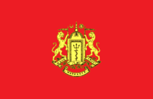
Wankaner State was an 11-gun salute state during the British Raj era, when it was governed by members of the senior branch of the Jhala dynasty.

References
- ↑ http://www.censusindia.gov.in/pca/SearchDetails.aspx?Id=538557
- ↑ Ahmed, Saad (27 August 2017). "The Palatial Wonderland: On the bend of the Machhu river in Wankaner, two palaces take you to a rich royal past". The Indian Express. Retrieved 27 August 2017.
- ↑ Falling Rain Genomics, Inc - Wankaner