Waimea River (Oahu, Hawaii)
| Waimea River | |
.jpg) Waimea Falls on the Kamananui stream a tributary of the Waimea | |
| Country | United States |
|---|---|
| State | Hawaii |
| County | Honolulu County |
| Source | |
| - location | Waimea Valley |
| Mouth | |
| - location | Waimea Bay |
| - coordinates | 21°38′27″N 158°03′48″W / 21.64074°N 158.06324°WCoordinates: 21°38′27″N 158°03′48″W / 21.64074°N 158.06324°W |
| Length | 1.5 mi (2 km) |
| Basin | 13.6 sq mi (35 km2) |
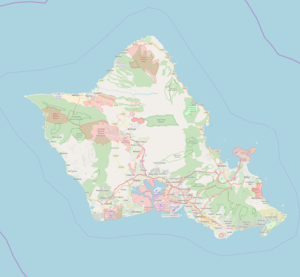 Location of the mouth within Oahu | |
The Waimea River is a river in Honolulu County on the island of Oʻahu in the U.S. state of Hawaii. The river's main channel is 1.5 miles (2.4 km) long (complete length is 64.4 miles including all tributaries), and has a watershed spanning 13.6 square miles.[1][2] It is formed by the confluence of the Kamananui stream and the Kaiwikoʻele stream northeast of Haleiwa and flows northwest through the Waimea Valley to the Pacific Ocean at Waimea Bay. The name Waimea translates to "red water."[3]
The mouth of the river has become famous for its waves that are created when residents dredge the beach, creating a channel that allows the watercourse to drain when it is cut off by the beach.[4]
See also
References
- ↑ U.S. Geological Survey Geographic Names Information System: Waimea River
- ↑ http://www.hawaiiwatershedatlas.com/watersheds/oahu/36010.pdf
- ↑ Pukui, Mary Kawena. Place Names of Hawaii. University of Hawaii Press. ISBN 0-8248-0524-0.
- ↑ http://www.best-of-oahu.com/waimea-bay.html
This article is issued from
Wikipedia.
The text is licensed under Creative Commons - Attribution - Sharealike.
Additional terms may apply for the media files.