Waat
| Waat | |
|---|---|
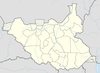 Waat Location in South Sudan | |
| Coordinates: 8°9′25″N 32°10′0″E / 8.15694°N 32.16667°ECoordinates: 8°9′25″N 32°10′0″E / 8.15694°N 32.16667°E | |
| Country |
|
| State | Eastern Bieh |
| County | Nyirol County |
| Time zone | UTC+3 (EAT) |
| Climate | Aw |
Waat is a village in South Sudan. It is located in Nyirol County, Eastern Bieh, in the northeastern part of South Sudan. Before the reorganisation of states in 2015, it was part of Jonglei state. It is connected by road to Faddoi just to the southeast [1]
References
- ↑ Rone, Jemera (2003). Sudan, oil, and human rights. Human Rights Watch. p. 328. ISBN 978-1-56432-291-3. Retrieved 10 July 2011.
State capital: Bor | ||
| Populated places | 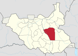 | |
| Universities | ||
| Airports | ||
| Other | ||
This article is issued from
Wikipedia.
The text is licensed under Creative Commons - Attribution - Sharealike.
Additional terms may apply for the media files.