Vitorog
| Vitorog | |
|---|---|
 Panoramic view on Vitorog | |
| Highest point | |
| Elevation | 1,907 m (6,257 ft) |
| Coordinates | 44°07′10″N 17°02′39″E / 44.11944°N 17.04417°ECoordinates: 44°07′10″N 17°02′39″E / 44.11944°N 17.04417°E |
| Geography | |
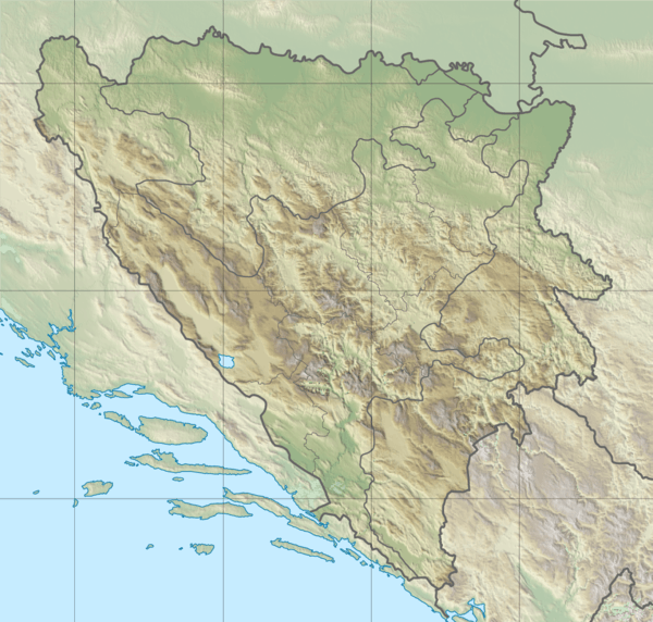 Vitorog Location in Bosnia and Herzegovina | |
| Location | Bosnia and Herzegovina |
| Parent range | Dinaric Alps |
Vitorog is a mountain in the municipality of Glamoč, Bosnia and Herzegovina. It has an altitude of 1,907 metres (6,257 ft).[1]
See also
References
- ↑ "Statistical Yearbook of the Federation of Bosnia and Herzegovina" (PDF). Federation of Bosnia and Herzegovina, Federal Office of Statistics. 2009. p. 28. Archived from the original (PDF) on 2011-06-29. Retrieved 2010-03-07.
This article is issued from
Wikipedia.
The text is licensed under Creative Commons - Attribution - Sharealike.
Additional terms may apply for the media files.