Vilpulka Parish
| Vilpulka | |
|---|---|
| Parish | |
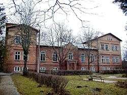 Virķēni's Manor | |
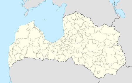 Vilpulka Location in Latvia | |
| Coordinates: 57°57′36″N 25°14′7″E / 57.96000°N 25.23528°ECoordinates: 57°57′36″N 25°14′7″E / 57.96000°N 25.23528°E | |
| Country |
|
| District (defunct) | Valmiera |
| Municipality | Rūjiena |
| Parish center | Vilpulka |
| Area | |
| • Total | 88.47 km2 (34.16 sq mi) |
| Population | |
| • Total | 670 |
| • Density | 7.6/km2 (20/sq mi) |
| Time zone | UTC+2 (EET) |
| • Summer (DST) | UTC+3 (EEST) |
| Postal code | LV-4240 |
| Calling code | +371 642 |
Vilpulka parish (Latvian: Vilpulkas pagasts) is an administrative unit of the Rūjiena Municipality, in the former Valmiera District, Latvia.
Towns, villages and settlements of Vilpulka parish
- Vilpulka (parish center)
- Brindas
- Jaunāmuiža
- Virķēni
See also
External links
![]()
This article is issued from
Wikipedia.
The text is licensed under Creative Commons - Attribution - Sharealike.
Additional terms may apply for the media files.