Vik, Buskerud
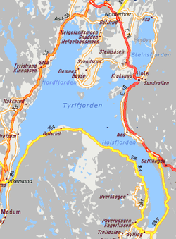
Map of Tyrifjorden with Vik in Hole on E16
Vik is a village and the administrative center of Hole in Buskerud, Norway.
[1]
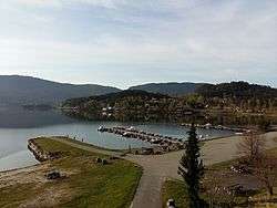
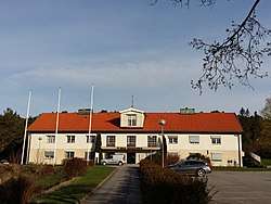
Vik is situated on the northeastern arm of Steinsfjorden, a branch of the Tyrifjorden. It is located on E16 between Sundvollen and Kroksund. The administration buildings for Hole Municipality are located in Vik. The village of Vik was originally named for the Vik farm in Hole herad which was located in an inlet of Steinsfjorden. [2] [3]
References
This article is issued from
Wikipedia.
The text is licensed under Creative Commons - Attribution - Sharealike.
Additional terms may apply for the media files.