Verkhoyansk Range
| Verkhoyansk Range | |
|---|---|
| Верхоянский хребет | |
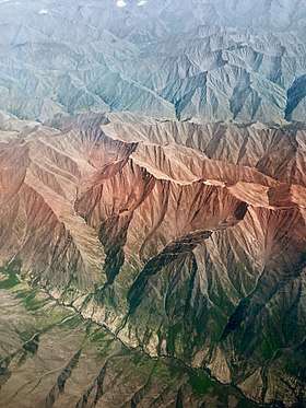 Aerial view of the Verkhoyansk Mountains | |
| Highest point | |
| Peak | Mus-Khaya |
| Elevation | 2,959 m (9,708 ft) |
| Coordinates | 67°N 129°E / 67°N 129°ECoordinates: 67°N 129°E / 67°N 129°E |
| Dimensions | |
| Length | 1,100 km (680 mi) |
| Geography | |
 Verkhoyansk Range | |
| Country | Russia |
| State | Sakha Republic |
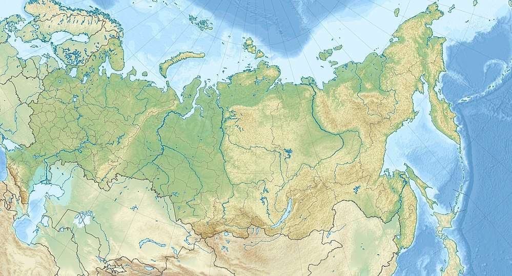
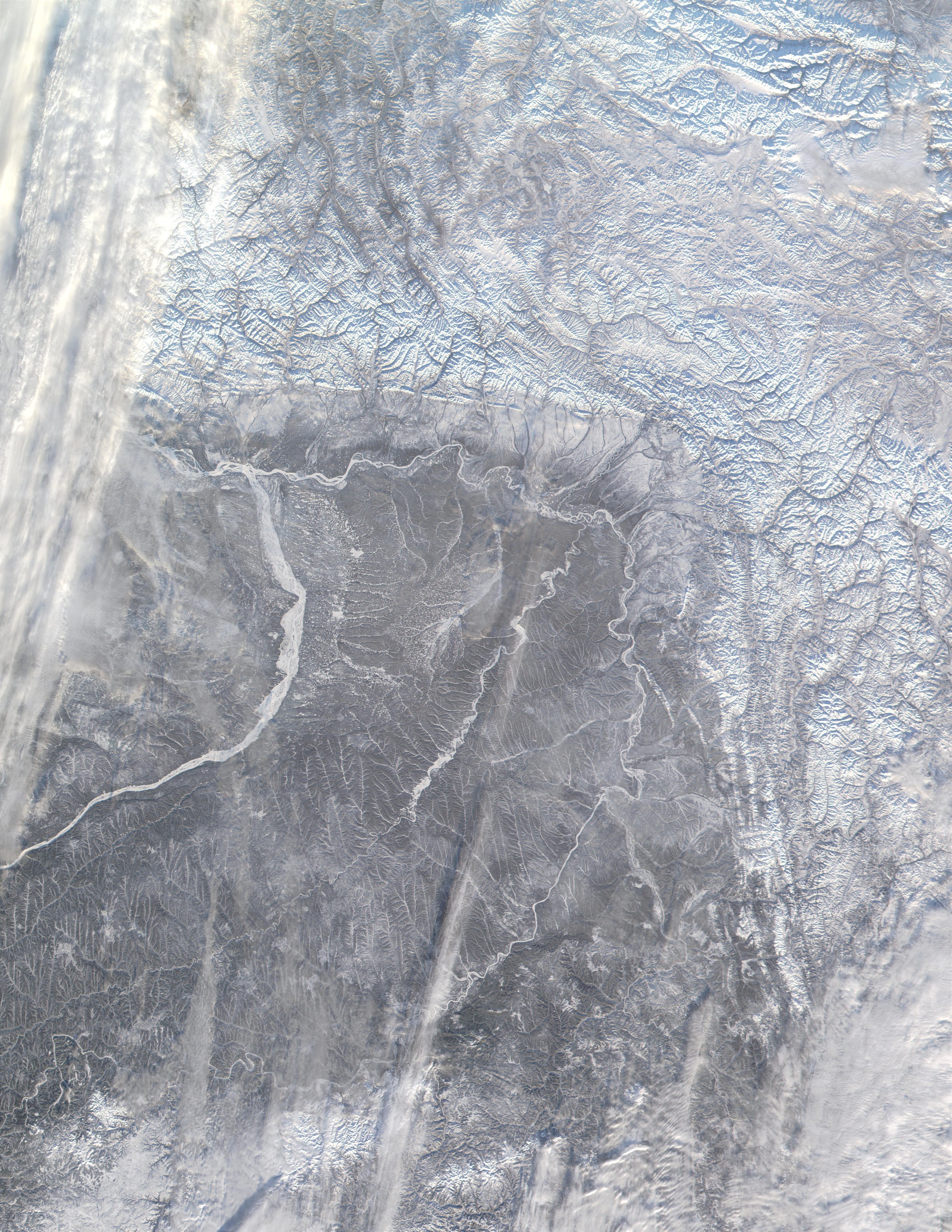
The Verkhoyansk Range (Russian: Верхоянский хребет, Verchojanskij chrebet; Sakha: Үөһээ Дьааҥы сис хайата, Üöhee Caañı sis xayata) is a mountain range of eastern Siberia spanning roughly 1000 km (600 mi.) across the Sakha Republic. It forms a vast arc between the Lena and Aldan rivers to the west and the Yana River to the east. It rises to c. 2,480 m (8,150 ft) in the south. There are coal, silver, lead, and zinc deposits located in the mountains. It lies just west of the boundary of the Eurasian and the North American tectonic plates.[1]
The world's lowest temperatures for inhabited places have been recorded in this region, and there is quite deep snow cover for most of the year. During the Last Glacial Maximum the range contained extensive glaciers, and the scenery in the summer is typical of "alpine" mountains. The mountain range is home to an alpine tundra, supporting various species of mosses and lichens.[2]
The mountains were formed by folding, and represent an anticline.[2]
References
- ↑ News Archive - The Earth Institute at Columbia University
- 1 2 "Verkhoyansk Mountains". Encyclopædia Britannica. Encyclopædia Britannica, Inc. Retrieved 11 April 2017.
External links