Vandhoo (Thaa Atoll)
| Vandhoo | |
|---|---|
| Inhabited island | |
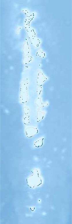 Vandhoo Location in Maldives | |
| Coordinates: 02°17′25″N 72°56′30″E / 2.29028°N 72.94167°ECoordinates: 02°17′25″N 72°56′30″E / 2.29028°N 72.94167°E | |
| Country | Maldives |
| Administrative atoll | Thaa Atoll |
| Distance to Malé | 217.76 km (135.31 mi) |
| Dimensions | |
| • Length | 0.720 km (0.447 mi) |
| • Width | 0.600 km (0.373 mi) |
| Population (2014)[1] | |
| • Total | 293 (including foreigners) |
| Time zone | UTC+05:00 (MST) |
Vandhoo (Dhivehi: ވަންދޫ) is one of the inhabited islands of Thaa Atoll.
History
According to some historical scripts, Vandhoo use to be an economical hub where ships travel through Maldives use to load and unload good while transiting near vandhoo lagoon in early days.
Geography
The island is 217.76 km (135 mi; 118 nmi) south of the country's capital, Malé.[2]
Demography
| Historical population | ||
|---|---|---|
| Year | Pop. | ±% |
| 2006 | 268 | — |
| 2014 | 275 | +2.6% |
| 2006-2014: Census populations Source: [3] | ||
According to one of the very first census statistics, Vandhoo is one of the most populated island in the atoll, where the total population count is more than a thousand back in the beginning of 1911. Later, due to poverty and some of government initiated birth control programs made the population decrease to less than four hundred.
References
- ↑ "Table PP5: Resident Population by sex, nationality and locality (administrative islands), 2014" (PDF). Population and Households Census 2014. National Bureau of Statistics. p. 35. Retrieved 13 August 2018.
- ↑ "Coordinate Distance Calculator". Boulter.com. Retrieved 13 August 2018.
- ↑ "Table 3.3: Total Maldivian Population by Islands" (PDF). National Bureau of Statistics. Retrieved 13 August 2018.
External links
This article is issued from
Wikipedia.
The text is licensed under Creative Commons - Attribution - Sharealike.
Additional terms may apply for the media files.